
The President and Area map | Canada National Park | by GoTrekkers
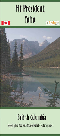
Map of The President area, Canada, BC, scale 1:15,000.
Topographic map at 1:15,000 with shaded relief of the President area in Yoho Park. 25m & 100m contours. 36"x34". Cover from just north of the Twin Falls Chalet to Emerald Lake in the south. From just east of Wapta Mtn in the east to the Kiwetinok Ridge in the west.


