The Palisades trail map
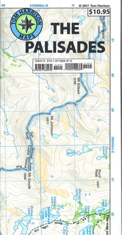
This Palisades Trail Map from Tom Harrison Maps covers the Big Creek area of the eastern Sierra on the boundary between Kings Canyon National Park and Inyo National Forest at 1: 31,680 scale. It includes the Palisades and Norman Clyde Glaciers, Bishop and Mather Pass, and the Big Pine Lakes. This map is printed on waterproof, tear-resistant plastic material.
- Product Number: TH_PALISADES_19
- Reference Product Number: - None -
- ISBN: 9781877689970
- Date of Publication: 6/1/2019
- Folded Size: 9.06 inches high by 4.33 inches wide
- Unfolded (flat) Size: 16.14 inches high by 25.59 inches wide
- Map format: Folded
- Map type: Trade Maps - Hiking
- Geographical region: United States
- Geographical subregion: California

