Mount Whitney High Country Trail Map by Tom Harrison Maps
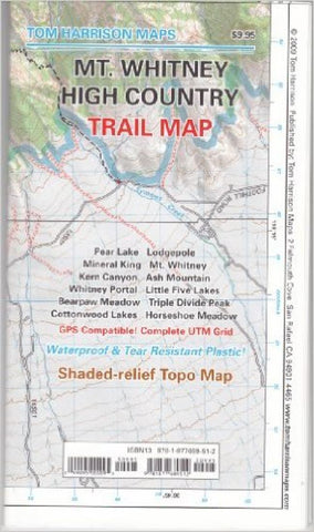
Folded topo trail map of Mt Whitney High Country. GPS-compatible with complete UTM grid. Printed on waterproof and tear resistant material. Covers Pear Lake, Lodge Pole, Mineral King, Mt. Whitney, Kern Canyon, Ash Mountain, Whitney Portal, Little 5 Lakes, Bearpaw Meadow, Triple Divide Peak, with insets for Cottonwood Lakes-Horseshoe Meadow Trailhead.
- Product Number: 2047846M
- Product Code: TH_MT_WHITNEY
- ISBN: 9781877689512
- Year of Publication: 2009
- Folded Size: 7.48 x 4.330 inches
- Unfolded Size: 25.59 x 37.40 inches
- Map type: Folded Map
- Geographical region: California

