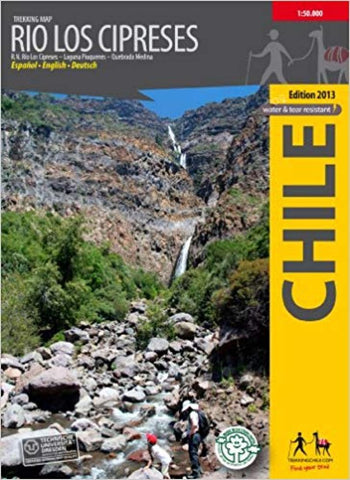
Río Los Cipreses, Chile : Trekking Map
Hiking map of the National Preserve Rio Los Cipreses east of Rancagua, in Central Chile. Overview map 1:100,000 showing the whole preserve with the Laguna Piuquenes and several 4,000 meter summits, being El Palomo volcano the highest with 4860 m. Detail map 1:25,000 of the preserve’s entrance area.
GPS compatible, with hiking routes, level curves every 50 m, mountain huts, lodgings and campsites. Landscape pictures and drawings of the local fauna. Map developed by the Institute for Cartography at the Dresden Technical University.
Trekkingchile, 1st edition 2014
Trekking Map, Central Chile, scale 1:100,000 / 1:25,000
Printed on tear- and water-resistant, environmentally friendly Stone Paper.
English - German - Spanish.
- Product Number: TC_RIO_LOS_14
- Reference Product Number: 2322707M
- ISBN: 9789568925260
- Date of Publication: 6/1/2014
- Folded Size: 7 inches high by 5 inches wide
- Unfolded (flat) Size: 15 inches high by 22 inches wide
- Map format: Folded
- Map type: Trade Maps - Hiking
- Geographical region: Chile