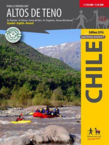
Altos de Teno - Travel and Trekking Map
The first map of the Andes east of San Fernando and Curicó. Overview map 1:150,000 of the area between the volcanoes Tinguiririca (4280 m) and Planchón - Peteroa - Azufre (4113 m), including Volcán Planchón (3985 m), Cerro Alto del Padre (3349 m) and the private nature preserve Alto Huemul. Two detail maps 1:50,000: Reserva Alto Huemul and Planchón - Peteroa. GPS compatible, with hiking routes, level curves every 50 m, mountain huts, lodgings and campsites. Landscape pictures and drawings of the local fauna. Map developed by the Institute for Cartography at the Dresden Technical University.
Trekkingchile, 1st edition 2017
Trekking Map, Central Chile, scale 1:150,000 / 1:50,000
Printed on tear- and water-resistant, environmentally friendly Stone Paper.
English - German - Spanish.
- Product Number: TC_ALTOS_17
- Reference Product Number: 2322701M
- ISBN: 9789568925307
- Date of Publication: 6/1/2017
- Folded Size: 7 inches high by 5 inches wide
- Unfolded (flat) Size: 20 inches high by 24 inches wide
- Map format: Folded
- Map type: Trade Maps - Hiking
- Geographical region: Chile