![Buy map Japan Executive Wall Map [Laminated]](http://store.yellowmaps.com/cdn/shop/products/big_26bf46e6-14f9-432d-b0cd-c27500098fe7_large.jpg?v=1706689440)
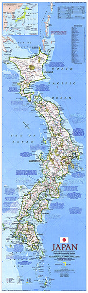
Japan Executive Wall Map [Laminated]
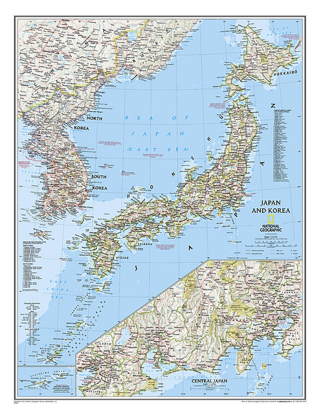
National Geographic’s Executive style political map of Japan features thousands of place names, accurate boundaries, national parks, and major infrastructure networks such as roads, highways, airports, and railroads. Inset maps provide detail of Japan’s Southern Outer Islands and Nansei Shoto (Ryukyu Islands). Information about the 2011 Tohoku earthquake and tsunami is included as well. This attractive map is rendered with an antique color palette, stunning shaded relief, and the cartographic accuracy National Geographic is renowned for.
The map is encapsulated in heavy-duty 1.6 mil laminate which makes the paper much more durable and resistant to the swelling and shrinking caused by changes in humidity. Laminated maps can be framed without the need for glass
- Product Number: NG_JPN_E_LAM_12
- Reference Product Number: 2129081M
- ISBN: 9781597754972
- Date of Publication: 6/1/2012
- Unfolded (flat) Size: 25 inches high by 29.13 inches wide
- Map format: Wall
- Map type: Trade Maps - Political
- Geographical region: Japan