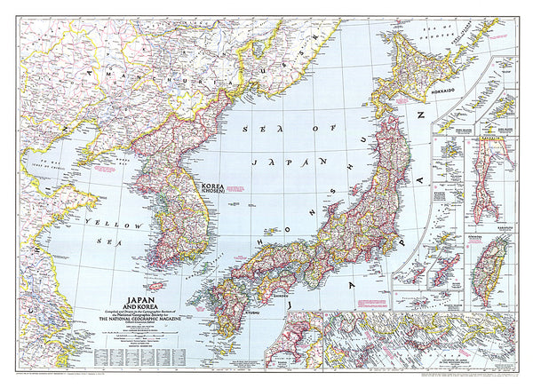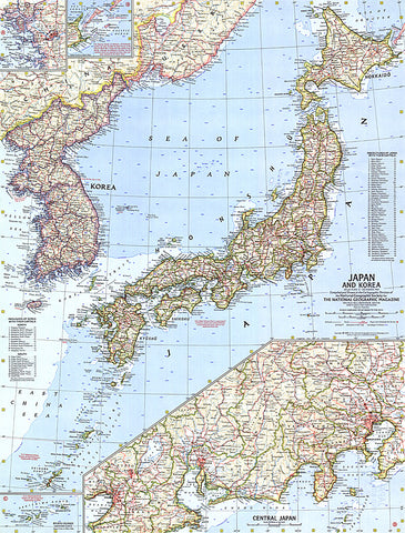
1960 Japan and Korea Map
This map of Japan and Korea provides great detail of the region including inset maps of the Ryukyu Islands and U.S.S.R. administered islands. It also features prefectures of Japan and provinces of Korea with their capitals. Published in December 1960.
- Product Number: PODHNG_JAP_KOR_60
- Reference Product Number: 2321365M
- ISBN: - None -
- Date of Publication: 6/1/1960
- Unfolded (flat) Size: 24.75 inches high by 19 inches wide
- Map format: Wall
- Map type: Trade Maps - Political
- Geographical region: Japan,Korea, North,Korea, South

