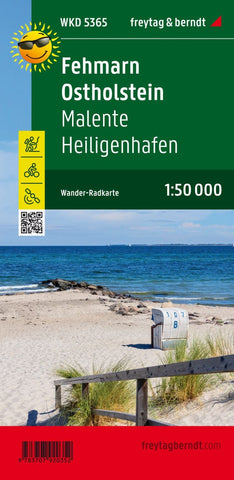
Fehmarn - Ostholstein, hiking and cycling map 1:50,000 WK D5365
The first map side describes most of East Holstein: In addition to the Baltic Sea cycle path, numerous regional cycle paths invite you to explore the hilly landscape. The second map side is dedicated to the island of Fehmarn, which can also be reached by bike via the Fehmarnsund Bridge. While the long -distance cycle path follows the course of the coast, regional leads through the small towns and over the fields of the island. Information texts and displays on the maps of the Fehmarn cycling and hiking map- Ostholstein provide information about excursion tips.
- Product Number: FB_WKD_50_5365_23
- Reference Product Number: - None -
- ISBN: 9783707920352
- Date of Publication: 5/1/2023
- Folded Size: 8.06 inches high by 3.93 inches wide
- Unfolded (flat) Size: 8.06 inches high by 3.93 inches wide
- Map format: Folded
- Map type: Trade Maps - Hiking
- Geographical region: Germany

