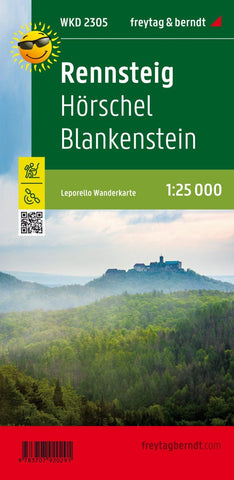
Rennsteig - Hörschel - Blankenstein, hiking map Leporello 1:25,000
The Rennsteig hiking map is dedicated to the Thuringian Rennsteig, a high -altitude hiking trail that leads from Hörschel near Eisenach to Blankenstein near the Bavarian city of Hof. The Rennsteig is a trade route between Thuringia and Franconia already used in the Middle Ages. The practical leporello folding is divided into partial lines in four. The Rennsteig runs over long distances through the Thuringian Forest Nature Park, the hikers with dense spruce forests, caves, interesting rock formations and rare flora and fauna.
- Product Number: FB_WKD_2305_23
- Reference Product Number: - None -
- ISBN: 9783707920291
- Date of Publication: 6/30/2023
- Folded Size: 8.06 inches high by 3.93 inches wide
- Unfolded (flat) Size: 8.06 inches high by 3.93 inches wide
- Map format: Folded
- Map type: Trade Maps - Hiking
- Geographical region: Germany