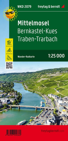
Midlmosel - Bernkastel -Kues - Traben -Trarbach, hiking map 1:25,000
The area of ??the Mittelmosel is the subject of the cycling and hiking map. On the map, not only cycling and hiking trails along the banks of the Moselle are drawn, but also height paths in the adjacent vineyards, which lead the steep distances to a destination with marked viewpoints. City plans of Bernkastel-Kues, Kröv and Traben-Trarbach complement the information (excursion tips, gastronomy) on the back.
- Product Number: FB_WKD_2079_23
- Reference Product Number: - None -
- ISBN: 9783707920369
- Date of Publication: 9/23/2014
- Folded Size: 8.06 inches high by 3.93 inches wide
- Unfolded (flat) Size: 8.06 inches high by 3.93 inches wide
- Map format: Folded
- Map type: Trade Maps - Hiking
- Geographical region: Germany