India North Road Map
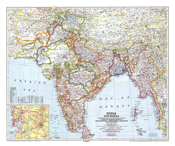
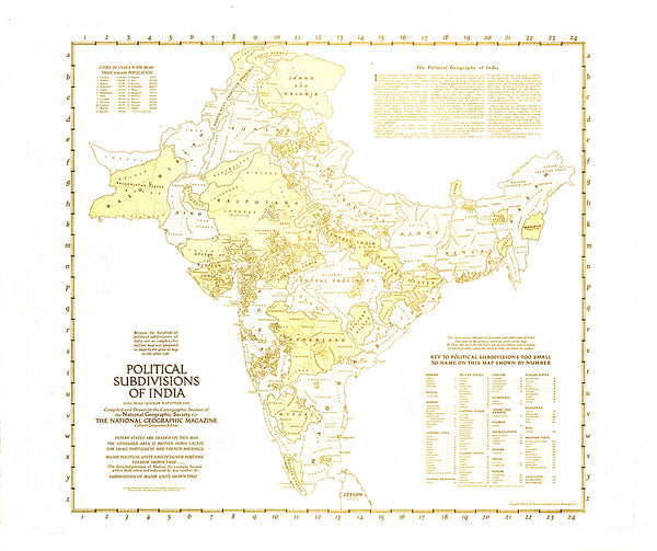
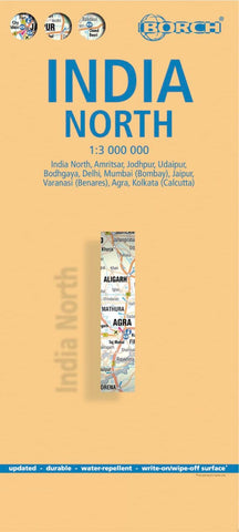
Northern India, including the whole of Nepal, Bhutan and Bangladesh, at 1:3,000,000 on a laminated, waterproof and tear-resistant, indexed road map from Borch, with large indexed street plans of its ten main cities.
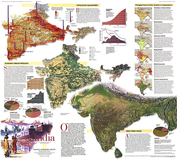
Coverage extends south to Mumbai and also includes most of Pakistan and eastern Afghanistan with Kabul. Altitude colouring with relief shading shows the topography, with spot heights and names of various mountain and hill ranges, peaks and mountain passes, etc. National parks and protected areas are highlighted.
Road network indicate distances and main and many secondary roads. Railway lines are included (although occasionally difficult to see against the background) and local airports are marked. Symbols highlight numerous places of interest. Also shown are internal administrative boundaries with names of the states. The map has extensive index and has no geographical coordinates.
The reverse side in taken by 10 panels with street plans at 1:30,000
- Product Number: BOR_INDIA_N_17
- Reference Product Number: 2249586M
- ISBN: 9783866093720
- Date of Publication: 6/1/2017
- Folded Size: 9.45 inches high by 4.33 inches wide
- Unfolded (flat) Size: 38.58 inches high by 26.97 inches wide
- Map format: Folded
- Map type: Trade Maps - Travel
- Geographical region: India

