
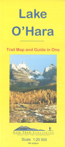
Lake OHara, Yoho Natl Park, British Columbia Trail Map and Guide in One by Gem Trek
This is a detailed map of the Lake OHara area.
On the front is a 1:20,000-scale topographic map covering the entire Lake OHara trail network with all of the hiking trails and alpine routes labelled. The contour interval on the map is 25 metres (80 feet).
On the back of the map are descriptions of all the trails shown on the map - Lake OHara Lakeshore, Lake Oesa, Lake McArthur, Opabin Plateau, and Linda Lake to Cathedral Prospect. Also described is the entire alpine route - Wiwaxy Gap/Huber Ledges, Yukness Ledges, All Souls and Odaray Grandview Prospect.
As well as noting highlights, the trail descriptions also include distance, elevation gain and directions to the trailhead. The trail descriptions were written by Bruce Millar of Lake OHara Lodge. Several photos accompany the text.
In addition to the standard features, this map also includes:
contour lines at 25-metre intervals (80 feet)
full color on both sides
printed on paper
- Product Number: 2227819M
- Product Code: GEM_LAKE_OHAR
- ISBN: 9781895526820
- Year of Publication: 2016
- Folded Size: 9.06 x 3.94 inches
- Unfolded Size: 17.32 x 19.49 inches
- Map type: Folded Map
- Geographical region: British Columbia


