
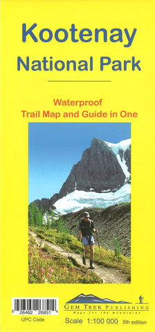
Kootenay National Park, Trail Map and Guide in One (waterproof) by Gem Trek
This map covers all of Kootenay National Park, from Castle Mountain Junction south through Radium, to Windermere.
All the official hiking and mountain biking trails in Kootenay National Park are shown on the map, ranging from short interpretive walks to full-day jaunts and multi-day backpacking trips. Popular trails on the map include Boom Lake, Twin and Arnica Lakes, Stanley Glacier, Marble Canyon and the Paint Pots, Hawk Creek, Kindersley Pass-Sinclair Creek, plus Floe Lake and the entire Rockwall Trail.
On the back of the map are trail descriptions and photos of 10 short interpretive walks to viewpoints or points of interest, six recommended day hikes, four classic mountain bike rides and four longer, more strenuous dayhikes or overnight trips. Also on the back is an inset map of Radium Hot Springs townsite, as well as contact information for visitor centres and campgrounds.
In addition to the standard features, this map also includes:
contour lines at 100-metre intervals (330 feet)
relief-shading
full color on both sides
printed on waterproof material
descriptions of 24 recommended trails, plus useful contact numbers on the back of the map
- Product Number: 2227818M
- Product Code: GEM_KOOTENAY
- ISBN: 9781895526851
- Year of Publication: 2016
- Folded Size: 9.84 x 4.72 inches
- Unfolded Size: 37.8 x 21.65 inches
- Map type: Folded Map
- Geographical region: British Columbia


