Antarctic Explorer Map by Ocean Explorer Maps
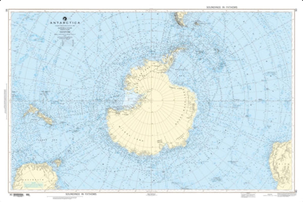
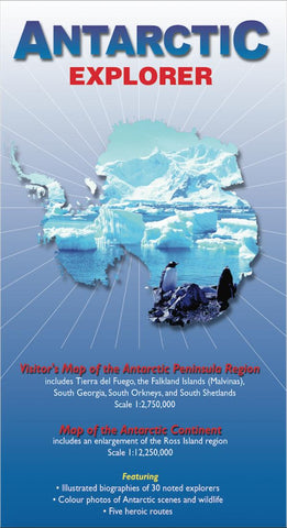
A full-color map of the Antarctic Peninsula at a scale of 1:2,750,000, designed for the shipboard traveler by veteran expedition leader Nigel Sitwell. It covers the range of most Antarctic voyages from Tierra del Fuego, the Falkland Islands, South Georgia and the Peninsula south to Marguerite Bay. It also includes detailed insets of South Georgia and the complex channels and islands of the Palmer Archipelago including Paradise Bay, the Lemaire and Neumeyer channels. The reverse shows the entire continent with photographs and mini-biographies of 30 polar explorers.
- Product Number: 2046170M
- Product Code: OE_ANT
- ISBN: 9780954371760
- Year of Publication: 2009
- Folded Size: 9.06 x 5.12 inches
- Unfolded Size: 25.98 x 33.86 inches
- Map type: Folded Map
- Geographical region: Antarctica

