
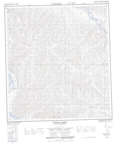
115O03 Thistle Creek Canada topo map, 1:50,000 scale
115O03 Thistle Creek NRCAN topographic map.
Includes UTM and GPS geographic coordinates (latitude and longitude). This 50k scale map is suitable for hiking, camping, and exploring, or you could frame it as a wall map.
Printed on-demand using high resolution, on heavy weight and acid free paper, or as an upgrade on a variety of synthetic materials.
Topos available on paper, Waterproof, Poly, or Tyvek. Usually shipping rolled, unless combined with other folded maps in one order.
- Product Number: NRCAN-115O03
- Parent Topo: TOPO-115O
- Map ID also known as: 115O03, 115O3
- Unfolded Size: Approximately 26" high by 36" wide
- Weight (paper map): ca. 55 grams
- Map Type: POD NRCAN Topographic Map
- Map Scale: 1:50,000
- Geographical region: Yukon, Canada
Neighboring Maps:
All neighboring Canadian topo maps are available for sale online at 1:50,000 scale.
Purchase the smaller scale map covering this area: Topo-115O
Spatial coverage:
Topo map sheet 115O03 Thistle Creek covers the following places:
- Dawson Range - Mount Stewart - Thistle Mountain - Klondike Plateau - Yukon Plateau - Agate Creek - Ballarat Creek - Blueberry Creek - Blueberry Creek - Brewer Creek - Carlisle Creek - Cooper Creek - Copper Creek - Discovery Pup - Donohue Creek - Fleuve Yukon - Frisco Creek - Gay Creek - Green Gulch - Kirkman Creek - Lewes River - Lulu Creek - Simmons Creek - Stewart River - Telford Creek - Thistle Creek - Three Kings Creek - Yukon River - Thistle Creek - Australia Gulch - Narrow Gulch - Neebur Gulch - Pinnacle Gulch - Scotch Gulch


