
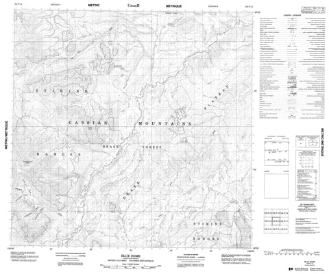
104P12 Blue Dome Canada topo map, 1:50,000 scale
104P12 Blue Dome NRCAN topographic map.
Includes UTM and GPS geographic coordinates (latitude and longitude). This 50k scale map is suitable for hiking, camping, and exploring, or you could frame it as a wall map.
Printed on-demand using high resolution, on heavy weight and acid free paper, or as an upgrade on a variety of synthetic materials.
Topos available on paper, Waterproof, Poly, or Tyvek. Usually shipping rolled, unless combined with other folded maps in one order.
- Product Number: NRCAN-104P12
- Parent Topo: TOPO-104P
- Map ID also known as: 104P12
- Unfolded Size: Approximately 26" high by 36" wide
- Weight (paper map): ca. 55 grams
- Map Type: POD NRCAN Topographic Map
- Map Scale: 1:50,000
- Geographical region: British Columbia, Canada
Neighboring Maps:
All neighboring Canadian topo maps are available for sale online at 1:50,000 scale.
Purchase the smaller scale map covering this area: Topo-104P
Spatial coverage:
Topo map sheet 104P12 Blue Dome covers the following places:
- Black Friday Lake - Captain Lake - Blue Dome - Cassiar Mountains - Stikine Ranges - Dease Plateau - Alec Chief Creek - Blue River - Chromite Creek - Claimjumper Creek - Heazlewood Creek - Little Blue River - Nickel Creek - Two Post Creek


