
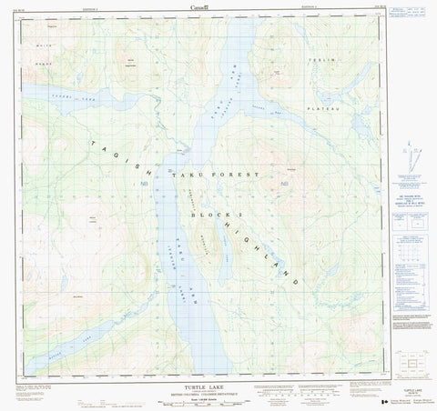
104M16 Turtle Lake Canada topo map, 1:50,000 scale
104M16 Turtle Lake NRCAN topographic map.
Includes UTM and GPS geographic coordinates (latitude and longitude). This 50k scale map is suitable for hiking, camping, and exploring, or you could frame it as a wall map.
Printed on-demand using high resolution, on heavy weight and acid free paper, or as an upgrade on a variety of synthetic materials.
Topos available on paper, Waterproof, Poly, or Tyvek. Usually shipping rolled, unless combined with other folded maps in one order.
- Product Number: NRCAN-104M16
- Parent Topo: TOPO-104M
- Map ID also known as: 104M16
- Unfolded Size: Approximately 26" high by 36" wide
- Weight (paper map): ca. 55 grams
- Map Type: POD NRCAN Topographic Map
- Map Scale: 1:50,000
- Geographical region: British Columbia, Canada
Neighboring Maps:
All neighboring Canadian topo maps are available for sale online at 1:50,000 scale.
Purchase the smaller scale map covering this area: Topo-104M
Spatial coverage:
Topo map sheet 104M16 Turtle Lake covers the following places:
- Taku Arm - Talaha Bay - Potter Point - Racine Falls - Tutshi Island - Jones Lake - Racine Lake - Tagish Lake - Turtle Lake - Tutshi Lake - Charlie Peak - Cloutier Peak - Mount Armstrong - Mount Brown - Mount Lanning - Mount Morin - Mount Richards - Peninsula Mountain - Stovel Peak - Tagish Highland - White Range - Teslin Plateau - Racine Creek - Shaker Creek - Tutshi River - Tutshi


