
104J09E Little Dease Lake Canada topo map, 1:50,000 scale
104J09E Little Dease Lake NRCAN topographic map.
Includes UTM and GPS geographic coordinates (latitude and longitude). This 50k scale map is suitable for hiking, camping, and exploring, or you could frame it as a wall map.
Printed on-demand using high resolution, on heavy weight and acid free paper, or as an upgrade on a variety of synthetic materials.
Topos available on paper, Waterproof, Poly, or Tyvek. Usually shipping rolled, unless combined with other folded maps in one order.
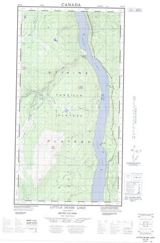
- Halfsheet: This map was designed as a half sheet of NRCAN-104J09, and it is the Eastern half. Find the western half sheet here.
- Product Number: NRCAN-104J09E
- Parent Topo: TOPO-104J
- Map ID also known as: 104J09, 104J9
- Unfolded Size: Approximately 26" high by 36" wide
- Weight (paper map): ca. 55 grams
- Map Type: POD NRCAN Topographic Map
- Map Scale: 1:50,000
- Geographical region: British Columbia, Canada
Neighboring Maps:
All neighboring Canadian topo maps are available for sale online at 1:50,000 scale.
Purchase the smaller scale map covering this area: Topo-104J
Spatial coverage:
Topo map sheet 104J09E Little Dease Lake covers the following places:
- Nine Mile Point - Gull Islet - Dease Lake - Killarney Lake - Little Dease Lake - Cassiar Mountains - French Range - Johnson Knolls - Mount McLeod - Mount Sullivan - Mount Todd - Stikine Plateau - Tanzilla Plateau - Argillite Creek - Berry Creek - Dease Creek - Delure Creek - Five Creek - Four Mile Creek - Halfmoon Creek - Killarney Creek - Little Dease Creek - Quartz Creek - Serpentine Creek - Slate Creek - Tatsho Creek - Dease Lake - Laketon - Buck Gulch - Lyons Gulch


