
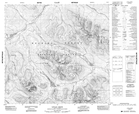
104I07 Letain Creek Canada topo map, 1:50,000 scale
104I07 Letain Creek NRCAN topographic map.
Includes UTM and GPS geographic coordinates (latitude and longitude). This 50k scale map is suitable for hiking, camping, and exploring, or you could frame it as a wall map.
Printed on-demand using high resolution, on heavy weight and acid free paper, or as an upgrade on a variety of synthetic materials.
Topos available on paper, Waterproof, Poly, or Tyvek. Usually shipping rolled, unless combined with other folded maps in one order.
- Product Number: NRCAN-104I07
- Parent Topo: TOPO-104I
- Map ID also known as: 104I07, 104I7
- Unfolded Size: Approximately 26" high by 36" wide
- Weight (paper map): ca. 55 grams
- Map Type: POD NRCAN Topographic Map
- Map Scale: 1:50,000
- Geographical region: British Columbia, Canada
Neighboring Maps:
All neighboring Canadian topo maps are available for sale online at 1:50,000 scale.
Purchase the smaller scale map covering this area: Topo-104I
Spatial coverage:
Topo map sheet 104I07 Letain Creek covers the following places:
- Letain Lake - Provencher Lake - Wolverine Lake - Cassiar Mountains - King Mountain - Mount Shea - Stikine Ranges - Alice Shea Creek - Blick Creek - Bobner Creek - Bullion Creek - Faulkner Creek - Ferry Creek - Flat Creek - Hard Creek - Kutcho Creek - Letain Creek - Philippon Creek - Settea Creek - Turnagain River - Wheaton Creek - Boulder City


