
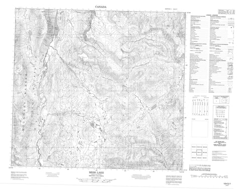
104G07 Mess Lake Canada topo map, 1:50,000 scale
104G07 Mess Lake NRCAN topographic map.
Includes UTM and GPS geographic coordinates (latitude and longitude). This 50k scale map is suitable for hiking, camping, and exploring, or you could frame it as a wall map.
Printed on-demand using high resolution, on heavy weight and acid free paper, or as an upgrade on a variety of synthetic materials.
Topos available on paper, Waterproof, Poly, or Tyvek. Usually shipping rolled, unless combined with other folded maps in one order.
- Product Number: NRCAN-104G07
- Parent Topo: TOPO-104G
- Map ID also known as: 104G07, 104G7
- Unfolded Size: Approximately 26" high by 36" wide
- Weight (paper map): ca. 55 grams
- Map Type: POD NRCAN Topographic Map
- Map Scale: 1:50,000
- Geographical region: British Columbia, Canada
Neighboring Maps:
All neighboring Canadian topo maps are available for sale online at 1:50,000 scale.
Purchase the smaller scale map covering this area: Topo-104G
Spatial coverage:
Topo map sheet 104G07 Mess Lake covers the following places:
- Mess Creek Escarpment - Nagha Glacier - Kounugu Lake - Little Arctic Lake - Little Ball Lake - Mess Lake - Skeeter Lake - Snipe Lake - Artifact Ridge - Boundary Ranges - Coast Mountains - Exile Hill - Kitsu Peak - Kounugu Mountain - Kuno Peak - Mount LaCasse - Nahta Cone - Obsidian Ridge - Outcast Hill - Spectrum Mountains - Spectrum Range - Tadekho Hill - Wetalth Ridge - Yagi Ridge - Yeda Peak - Regional District of Kitimat-Stikine - Mount Edziza Park - Mount Edziza Recreation Area - Arctic Lake Plateau - Kitsu Plateau - Artifact Creek - Ball Creek - Chachani Creek - Kitsu Creek - Little Iskut River - Mess Creek - More Creek - Nagha Creek - Stewbomb Creek - Tadekho Creek - Destell Pass


