
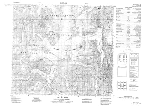
104B01 Leduc Glacier Canada topo map, 1:50,000 scale
104B01 Leduc Glacier NRCAN topographic map.
Includes UTM and GPS geographic coordinates (latitude and longitude). This 50k scale map is suitable for hiking, camping, and exploring, or you could frame it as a wall map.
Printed on-demand using high resolution, on heavy weight and acid free paper, or as an upgrade on a variety of synthetic materials.
Topos available on paper, Waterproof, Poly, or Tyvek. Usually shipping rolled, unless combined with other folded maps in one order.
- Product Number: NRCAN-104B01
- Parent Topo: TOPO-104B
- Map ID also known as: 104B01, 104B1
- Unfolded Size: Approximately 26" high by 36" wide
- Weight (paper map): ca. 55 grams
- Map Type: POD NRCAN Topographic Map
- Map Scale: 1:50,000
- Geographical region: British Columbia, Canada
Neighboring Maps:
All neighboring Canadian topo maps are available for sale online at 1:50,000 scale.
Purchase the smaller scale map covering this area: Topo-104B
Spatial coverage:
Topo map sheet 104B01 Leduc Glacier covers the following places:
- Berendon Glacier - Boundary Glacier - Clara Smith Glacier - Leduc Glacier - Salmon Glacier - Daisy Lake - Fetter Lake - Hog Lake - Indian Lake - Noname Lake - Silver Lake - Silver Lakes - Summit Lake - Tunnel Lake - Big Missouri Ridge - Boundary Ranges - Coast Mountains - Mount Bayard - Mount Blaine - Mount Dilsworth - Mount Dilworth - Mount Jefferson Coolidge - Mount John Jay - Mount Lindeborg - Mount Lindeborg - Mount Upshur - Mount Welker - Mount White-Fraser - Mount Willibert - Regional District of Kitimat-Stikine - Cascade River - Cooper Creek - Fletcher Creek - Hovland Creek - Leduc River - Lesley Creek - Myrtle Creek - Salmon River - Silver Creek - Granduc - Premier - Silver Heights


