
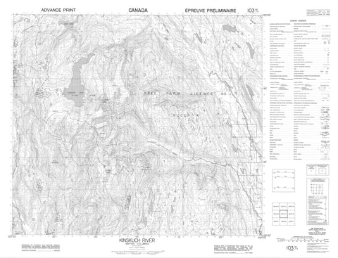
103P11 Kinskuch River Canada topo map, 1:50,000 scale
103P11 Kinskuch River NRCAN topographic map.
Includes UTM and GPS geographic coordinates (latitude and longitude). This 50k scale map is suitable for hiking, camping, and exploring, or you could frame it as a wall map.
Printed on-demand using high resolution, on heavy weight and acid free paper, or as an upgrade on a variety of synthetic materials.
Topos available on paper, Waterproof, Poly, or Tyvek. Usually shipping rolled, unless combined with other folded maps in one order.
- Product Number: NRCAN-103P11
- Parent Topo: TOPO-103P
- Map ID also known as: 103P11
- Unfolded Size: Approximately 26" high by 36" wide
- Weight (paper map): ca. 55 grams
- Map Type: POD NRCAN Topographic Map
- Map Scale: 1:50,000
- Geographical region: British Columbia, Canada
Neighboring Maps:
All neighboring Canadian topo maps are available for sale online at 1:50,000 scale.
Purchase the smaller scale map covering this area: Topo-103P
Spatial coverage:
Topo map sheet 103P11 Kinskuch River covers the following places:
- Alpine Lake - Arbor Lake - Arrowhead Lake - Concealed Lake - Honey Lake - Illiance Lake - Jade Lake - Kinskuch Lake - Sandal Lake - Shishilabet Lakes - Boundary Ranges - Chaîne Côtière - Coast Mountains - Gravel Top Ridge - Illiance Mountain - Lavender Peak - Mount McGuire - Mount Theophilus - Tchitin Peak - Wilauks Mountain - Regional District of Kitimat-Stikine - Dak River - Foxy Creek - Gumas Creek - Gwunya Creek - Illiance River - Kinskuch River - Kitsault River - Lahte Creek - Lime Creek - Lyall Creek - Niska Creek - Silverwolf Creek - Stark Creek - Tchitin River - Theophilus Creek - Tiger Creek - Trout Creek - Washout Creek


