
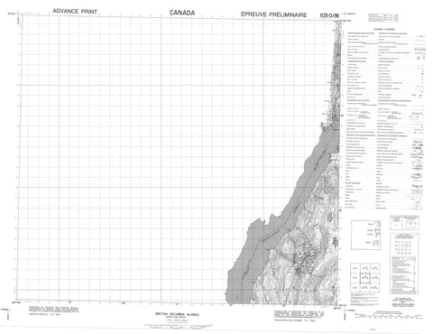
103O16 No Title Canada topo map, 1:50,000 scale
103O16 No Title NRCAN topographic map.
Includes UTM and GPS geographic coordinates (latitude and longitude). This 50k scale map is suitable for hiking, camping, and exploring, or you could frame it as a wall map.
Printed on-demand using high resolution, on heavy weight and acid free paper, or as an upgrade on a variety of synthetic materials.
Topos available on paper, Waterproof, Poly, or Tyvek. Usually shipping rolled, unless combined with other folded maps in one order.
- Product Number: NRCAN-103O16
- Parent Topo: TOPO-103O
- Map ID also known as: 103O16
- Unfolded Size: Approximately 26" high by 36" wide
- Weight (paper map): ca. 55 grams
- Map Type: POD NRCAN Topographic Map
- Map Scale: 1:50,000
- Geographical region: British Columbia, Canada
Neighboring Maps:
All neighboring Canadian topo maps are available for sale online at 1:50,000 scale.
Purchase the smaller scale map covering this area: Topo-103O
Spatial coverage:
Topo map sheet 103O16 No Title covers the following places:
- Helen Bay - Marmot Bay - British Point - Eagle Point - Engineers Point - Lion Point - Round Point - Portland Canal - Boundary Ranges - Chaîne Côtière - Coast Mountains - Colling Range - Colling Ridge - Mount Dolly - Regional District of Kitimat-Stikine - Bulldog Creek - Bullion Creek - Georgie River - Hume Creek - Koris Creek - Marmot River


