
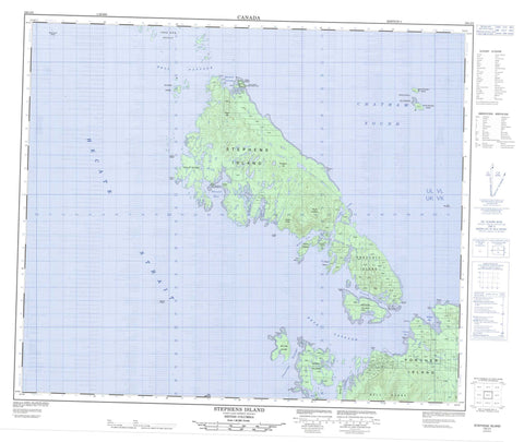
103J02 Stephens Island Canada topo map, 1:50,000 scale
103J02 Stephens Island NRCAN topographic map.
Includes UTM and GPS geographic coordinates (latitude and longitude). This 50k scale map is suitable for hiking, camping, and exploring, or you could frame it as a wall map.
Printed on-demand using high resolution, on heavy weight and acid free paper, or as an upgrade on a variety of synthetic materials.
Topos available on paper, Waterproof, Poly, or Tyvek. Usually shipping rolled, unless combined with other folded maps in one order.
- Product Number: NRCAN-103J02
- Parent Topo: TOPO-103J
- Map ID also known as: 103J02, 103J2
- Unfolded Size: Approximately 26" high by 36" wide
- Weight (paper map): ca. 55 grams
- Map Type: POD NRCAN Topographic Map
- Map Scale: 1:50,000
- Geographical region: British Columbia, Canada
Neighboring Maps:
All neighboring Canadian topo maps are available for sale online at 1:50,000 scale.
Purchase the smaller scale map covering this area: Topo-103J
Spatial coverage:
Topo map sheet 103J02 Stephens Island covers the following places:
- Butler Cove - Chatham Sound - Qlawdzeet Anchorage - Refuge Bay - Secret Cove - Skiakl Bay - Useless Bay - Welcome Harbour - Congreve Point - Edwin Point - Goble Point - Hearndon Point - Hooper Point - Ibbetson Point - Ludlam Point - Morrell Point - Pearce Point - Riel Point - Skiakl Point - Surf Point - Table Point - Useless Point - View Point - Welcome Point - Bell Passage - Brown Passage - Canoe Passage - Chearnley Passage - Edye Passage - Hecate Strait - Prescott Passage - Stephens Passage - Avery Island Indian Reserve 92 - Edye Indian Reserve 93 - Réserve indienne Avery Island 92 - Réserve indienne Edye 93 - Réserve indienne Squaderee 91 - Squaderee Indian Reserve 91 - Archibald Islands - Arthur Island - Avery Island - Barrett Island - China Islet - Dancey Island - Dolly Island - Dunn Island - Fog Islands - Gun Island - Henry Island - Joyce Island - Knox Island - Log Island - Minnie Island - North Rachael Island - Parry Island - Parry Island - Philip Island - Porcher Island - Prescott Island - Rachael Islands - Rod Island - Skiakl Island - Snuff Islet - South Rachael Island - Stephens Island - Tree Nob Group - Trunk Island - William Island - Bell Range - Congreve Hill - Kitimat Ranges - Mount Stephens - Philip Cone - Qlawd Hill - Useless Creek - Alexandra Bank - Angle Rock - Butterworth Rocks - Clode Patch - Colquhoun Shoal - Evelyn Rocks - Gore-Langton Rock - Grenville Rock - Gull Rocks - Harris Rock - Kipcke Rock - Pitt Shoal - Roland Rocks - Seal Rocks - Skiakl Rock - Truscot Rock - Wallace Rocks - Warrior Rocks - Refuge Bay


