
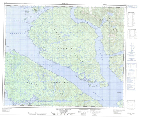
103G09 Mccauley Island Canada topo map, 1:50,000 scale
103G09 Mccauley Island NRCAN topographic map.
Includes UTM and GPS geographic coordinates (latitude and longitude). This 50k scale map is suitable for hiking, camping, and exploring, or you could frame it as a wall map.
Printed on-demand using high resolution, on heavy weight and acid free paper, or as an upgrade on a variety of synthetic materials.
Topos available on paper, Waterproof, Poly, or Tyvek. Usually shipping rolled, unless combined with other folded maps in one order.
- Product Number: NRCAN-103G09
- Parent Topo: TOPO-103G
- Map ID also known as: 103G09, 103G9
- Unfolded Size: Approximately 26" high by 36" wide
- Weight (paper map): ca. 55 grams
- Map Type: POD NRCAN Topographic Map
- Map Scale: 1:50,000
- Geographical region: British Columbia, Canada
Neighboring Maps:
All neighboring Canadian topo maps are available for sale online at 1:50,000 scale.
Purchase the smaller scale map covering this area: Topo-103G
Spatial coverage:
Topo map sheet 103G09 Mccauley Island covers the following places:
- Anger Anchorage - Bonilla Arm - Byers Bay - Colby Bay - Connis Cove - Deadman Inlet - Hevenor Inlet - Keswar Inlet - Keyarka Cove - Kingkown Inlet - Logan Bay - Logan Inlet - Murder Cove - Newcombe Harbour - Port Canaveral - Squall Bay - Allcroft Point - Baird Point - Boys Point - Dimple Point - Elbow Point - Foul Point - Gibbons Point - Hankin Point - Headwind Point - Hevenor Point - Keswar Point - Laverock Point - Mathers Point - McCutcheon Point - Meet Point - Morrison Point - Petrel Point - Red Point - Robinson Point - Squall Point - Stark Point - Tonkin Point - Urquhart Point - Whalen Point - Allerton Passage - Beaver Passage - Browning Entrance - Canaveral Passage - Dory Passage - Hecate Strait - Markle Passage - Petrel Channel - Principe Channel - Schooner Passage - Keswar Indian Reserve 16 - Keyarka Indian Reserve 17 - Pitt Island Indian Reserve 27 - Réserve indienne Keswar 16 - Réserve indienne Keyarka 17 - Réserve indienne Pitt Island 27 - Anger Island - Banks Island - Bush Islet - Camp Islet - Channel Island - Christie Islands - Cliff Island - Cliff Islands - Dark Islet - Deadman Islet - Dixon Island - Dolphin Island - Freberg Islet - Friday Island - Friday Islands - Hevenor Islet - Kirkendale Island - Long Island - McCauley Island - Petrel Islets - Pitt Island - Ralph Island - Ralph Islands - Round Islet - Sentinel Island - Sentinel Islet - Shadforth Islands - Sheldon Islet - Sherman Islet - South Spicer Island - Spicer Island - Squall Island - Wheeler Island - Wright Island - Carlo Range - Coast Mountains - End Hill - Hat Hill - Kitimat Ranges - Noble Mountain - Table Hill - Regional District of Kitimat-Stikine - Alarm Rocks - Alexander Shoal - Boys Rock - Canaveral Rock - Christie Rock - Clown Rock - Ethel Rock - Globe Rock - Goring Reefs - Hankin Rock - Ludlam Rock - Stephen Rocks - Terry Rock - Twain Rocks


