
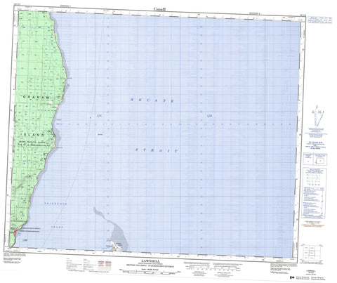
103G05 Lawnhill Canada topo map, 1:50,000 scale
103G05 Lawnhill NRCAN topographic map.
Includes UTM and GPS geographic coordinates (latitude and longitude). This 50k scale map is suitable for hiking, camping, and exploring, or you could frame it as a wall map.
Printed on-demand using high resolution, on heavy weight and acid free paper, or as an upgrade on a variety of synthetic materials.
Topos available on paper, Waterproof, Poly, or Tyvek. Usually shipping rolled, unless combined with other folded maps in one order.
- Product Number: NRCAN-103G05
- Parent Topo: TOPO-103G
- Map ID also known as: 103G05, 103G5
- Unfolded Size: Approximately 26" high by 36" wide
- Weight (paper map): ca. 55 grams
- Map Type: POD NRCAN Topographic Map
- Map Scale: 1:50,000
- Geographical region: British Columbia, Canada
Neighboring Maps:
All neighboring Canadian topo maps are available for sale online at 1:50,000 scale.
Purchase the smaller scale map covering this area: Topo-103G
Spatial coverage:
Topo map sheet 103G05 Lawnhill covers the following places:
- Halibut Bight - Rooney Bay - Shingle Bay - Skidegate Inlet - Village Bay - Dead Tree Point - Lawn Point - Spit Point - Hecate Strait - Réserve indienne Skaigha 2 - Réserve indienne Skidegate 1 - Skaigha Indian Reserve 2 - Skidegate Indian Reserve 1 - Bare Island - Graham Island - Moresby Island - Torrens Island - Wilcox Group - Lawn Hill - Chinukundl Creek - Jungle Creek - Lawn Creek - Leander Creek - Miller Creek - Slarkedus Creek - Tlell River - Bar Rocks - Haida - Lawn Hill - Lawnhill - Sandspit - Skidegate - Skidegate Mission


