
103F15W Naden River Canada topo map, 1:50,000 scale
103F15W Naden River NRCAN topographic map.
Includes UTM and GPS geographic coordinates (latitude and longitude). This 50k scale map is suitable for hiking, camping, and exploring, or you could frame it as a wall map.
Printed on-demand using high resolution, on heavy weight and acid free paper, or as an upgrade on a variety of synthetic materials.
Topos available on paper, Waterproof, Poly, or Tyvek. Usually shipping rolled, unless combined with other folded maps in one order.
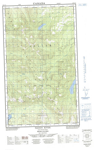
- Halfsheet: This map was designed as a half sheet of NRCAN-103F15, and it is the Western half. Find the eastern half sheet here.
- Product Number: NRCAN-103F15W
- Parent Topo: TOPO-103F
- Map ID also known as: 103F15
- Unfolded Size: Approximately 26" high by 36" wide
- Weight (paper map): ca. 55 grams
- Map Type: POD NRCAN Topographic Map
- Map Scale: 1:50,000
- Geographical region: British Columbia, Canada
Neighboring Maps:
All neighboring Canadian topo maps are available for sale online at 1:50,000 scale.
Purchase the smaller scale map covering this area: Topo-103F
Spatial coverage:
Topo map sheet 103F15W Naden River covers the following places:
- Naden Harbour - Otard Bay - Chittenden Point - Colnett Point - Fraser Point - Kunlana Point - Kose Indian Reserve 9 - Naden Indian Reserve 10 - Naden Indian Reserve 23 - Réserve indienne Kose 9 - Réserve indienne Naden 10 - Réserve indienne Naden 23 - Tlaa Gaa Aawtlaas 28 - Graham Island - Grassy Islet - Îles de la Reine-Charlotte - Queen Charlotte Islands - Tee Island - Eden Lake - Ian Lake - Jalun Lake - Marian Lake - Roy Lake - Skundale Lake - Crease Range - Middle Hill - Queen Charlotte Mountains - Beresford Creek - Cave Creek - Davidson Creek - Haines Creek - Hana Koot Creek - Jalun River - Lignite Creek - Naden River - Otard Creek - Stanley Creek - Grassy Rock - Wadsworth Ledge


