
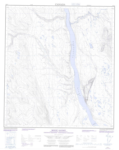
095O05 Mount Gaudet Canada topo map, 1:50,000 scale
095O05 Mount Gaudet NRCAN topographic map.
Includes UTM and GPS geographic coordinates (latitude and longitude). This 50k scale map is suitable for hiking, camping, and exploring, or you could frame it as a wall map.
Printed on-demand using high resolution, on heavy weight and acid free paper, or as an upgrade on a variety of synthetic materials.
Topos available on paper, Waterproof, Poly, or Tyvek. Usually shipping rolled, unless combined with other folded maps in one order.
- Product Number: NRCAN-095O05
- Parent Topo: TOPO-095O
- Map ID also known as: 095O05, 95O5, 95O05
- Unfolded Size: Approximately 26" high by 36" wide
- Weight (paper map): ca. 55 grams
- Map Type: POD NRCAN Topographic Map
- Map Scale: 1:50,000
- Geographical region: Northwest Territories, Canada
Neighboring Maps:
All neighboring Canadian topo maps are available for sale online at 1:50,000 scale.
Purchase the smaller scale map covering this area: Topo-095O
Spatial coverage:
Topo map sheet 095O05 Mount Gaudet covers the following places:
- Roche-qui-trempe-à-l'eau - Rocky Island - Moose Lakes - Ducot Peak - Franklin Mountains - McConnell Range - Mount Gaudet - Eetseemoday River - Fleuve Mackenzie - Gashoday Creek - Hodgson Creek - Mackenzie River - Mountain People Creek - Ochre River - Philips Creek - Willow Creek - Wrigley


