
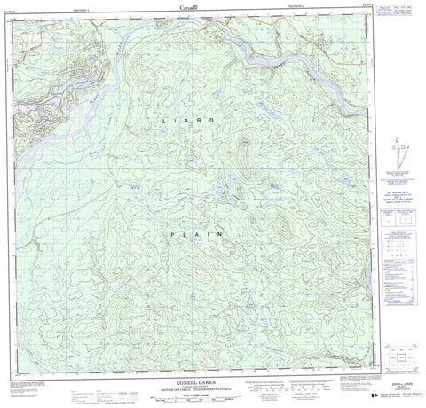
094M13 Egnell Lakes Canada topo map, 1:50,000 scale
094M13 Egnell Lakes NRCAN topographic map.
Includes UTM and GPS geographic coordinates (latitude and longitude). This 50k scale map is suitable for hiking, camping, and exploring, or you could frame it as a wall map.
Printed on-demand using high resolution, on heavy weight and acid free paper, or as an upgrade on a variety of synthetic materials.
Topos available on paper, Waterproof, Poly, or Tyvek. Usually shipping rolled, unless combined with other folded maps in one order.
- Product Number: NRCAN-094M13
- Parent Topo: TOPO-094M
- Map ID also known as: 094M13, 94M13
- Unfolded Size: Approximately 26" high by 36" wide
- Weight (paper map): ca. 55 grams
- Map Type: POD NRCAN Topographic Map
- Map Scale: 1:50,000
- Geographical region: British Columbia, Canada
Neighboring Maps:
All neighboring Canadian topo maps are available for sale online at 1:50,000 scale.
Purchase the smaller scale map covering this area: Topo-094M
Spatial coverage:
Topo map sheet 094M13 Egnell Lakes covers the following places:
- Cassiar Land District - Egnell Lakes - Tsia Lake - Hizaza Hill - Fort Nelson-Liard Regional District - Liard Plain - Contact Creek - Cosh Creek - Irons Creek - Irons Creek - Liard River - Nustlo Creek - Scoby Creek - Tatisno Creek - Tatzille Creek - Tsia Creek - Tsinitla Creek - Liard River


