
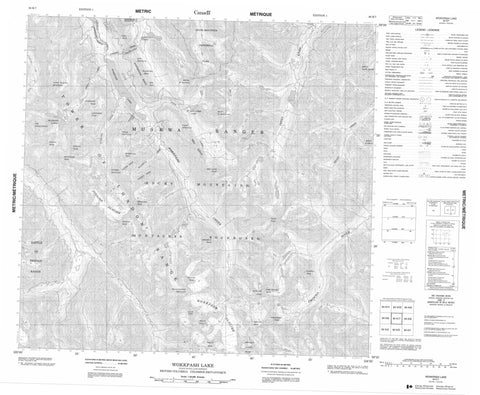
094K07 Wokkpash Lake Canada topo map, 1:50,000 scale
094K07 Wokkpash Lake NRCAN topographic map.
Includes UTM and GPS geographic coordinates (latitude and longitude). This 50k scale map is suitable for hiking, camping, and exploring, or you could frame it as a wall map.
Printed on-demand using high resolution, on heavy weight and acid free paper, or as an upgrade on a variety of synthetic materials.
Topos available on paper, Waterproof, Poly, or Tyvek. Usually shipping rolled, unless combined with other folded maps in one order.
- Product Number: NRCAN-094K07
- Parent Topo: TOPO-094K
- Map ID also known as: 094K07, 94K7, 94K07
- Unfolded Size: Approximately 26" high by 36" wide
- Weight (paper map): ca. 55 grams
- Map Type: POD NRCAN Topographic Map
- Map Scale: 1:50,000
- Geographical region: British Columbia, Canada
Neighboring Maps:
All neighboring Canadian topo maps are available for sale online at 1:50,000 scale.
Purchase the smaller scale map covering this area: Topo-094K
Spatial coverage:
Topo map sheet 094K07 Wokkpash Lake covers the following places:
- Fusilier Glacier - Wokkpash Glacier - Blizzard Lakes - Last Call Lake - St. Sepulchre Lake - Wokkpash Lake - Angel Peak - Angle Peak - Battle of Britain Range - Beauchamp Peak - Ben Isla - Blashford Peak - Byward Peak - Cadet Mountain - Chischa Peak - Constable Peak - Develin Peak - Devereux Peak - Expedition Peak - Exploration Peak - Fusilier Peak - Hermitage Peak - Hunter Mountain - Hunter Ridge - Icecap Peak - Kiwi Mountain - Lord Mayor Peak - Martin Peak - Mercers Peak - Merchant Taylors Peaks - Montagnes Rocheuses - Mount Mary Henry - Mount Peck - Mount St. Magnus - Mount St. Sepulchre - Mount Stalin - Mount Wadman - Muskwa Ranges - North Bastion Mountain - Raleigh Ridge - Red Ridge - Red Ridge Peak - Rocky Mountains - Saddleback Peak - Sandhurst Peak - South Bastion Mountain - Spyglass Peak - Tetsa Peak - The White Tower - Tower Mountain - Tower of London Range - Whitestone Ridge - Yalta Peak - Fort Nelson-Liard Regional District - Stone Mountain Park - Wokkpash Recreation Area - Bathtub Creek - Blenheim Creek - Chischa Creek - Chischa River - Forlorn Creek - Fusilier Creek - Henry Creek - Plug Creek - Racing River - Stepped Creek - Tetsa River - Wishstream Creek - Wokkpash Creek - Forlorn Gorge - Wokkpash Gorge


