
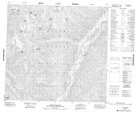
094K02 Sicily Mountain Canada topo map, 1:50,000 scale
094K02 Sicily Mountain NRCAN topographic map.
Includes UTM and GPS geographic coordinates (latitude and longitude). This 50k scale map is suitable for hiking, camping, and exploring, or you could frame it as a wall map.
Printed on-demand using high resolution, on heavy weight and acid free paper, or as an upgrade on a variety of synthetic materials.
Topos available on paper, Waterproof, Poly, or Tyvek. Usually shipping rolled, unless combined with other folded maps in one order.
- Product Number: NRCAN-094K02
- Parent Topo: TOPO-094K
- Map ID also known as: 094K02, 94K2, 94K02
- Unfolded Size: Approximately 26" high by 36" wide
- Weight (paper map): ca. 55 grams
- Map Type: POD NRCAN Topographic Map
- Map Scale: 1:50,000
- Geographical region: British Columbia, Canada
Neighboring Maps:
All neighboring Canadian topo maps are available for sale online at 1:50,000 scale.
Purchase the smaller scale map covering this area: Topo-094K
Spatial coverage:
Topo map sheet 094K02 Sicily Mountain covers the following places:
- Cassiar Land District - Freddie Lake - Tuchodi Lakes - Battle of Britain Range - Campobasso Mountain - Geordie Peak - King Peak - Lindisfarne Peak - Liri Mountain - Merchant Taylors Peaks - Montagnes Rocheuses - Mount Aida - Muskwa Ranges - Ortona Mountain - Potsdam Peak - Quebec Citadel Peak - Rocky Mountains - Savio Mountain - Senio Mountain - Sicily Mountain - Tower of London Range - Yalta Peak - Fort Nelson-Liard Regional District - Kwadacha Wilderness Park - Wokkpash Recreation Area - Gataga River - Joplin Creek - Racing River - Tuchodi River - Gataga Pass


