
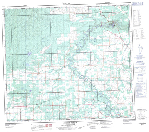
093P15 Sunset Prairie Canada topo map, 1:50,000 scale
093P15 Sunset Prairie NRCAN topographic map.
Includes UTM and GPS geographic coordinates (latitude and longitude). This 50k scale map is suitable for hiking, camping, and exploring, or you could frame it as a wall map.
Printed on-demand using high resolution, on heavy weight and acid free paper, or as an upgrade on a variety of synthetic materials.
Topos available on paper, Waterproof, Poly, or Tyvek. Usually shipping rolled, unless combined with other folded maps in one order.
- Product Number: NRCAN-093P15
- Parent Topo: TOPO-093P
- Map ID also known as: 093P15, 93P15
- Unfolded Size: Approximately 26" high by 36" wide
- Weight (paper map): ca. 55 grams
- Map Type: POD NRCAN Topographic Map
- Map Scale: 1:50,000
- Geographical region: British Columbia, Canada
Neighboring Maps:
All neighboring Canadian topo maps are available for sale online at 1:50,000 scale.
Purchase the smaller scale map covering this area: Topo-093P
Spatial coverage:
Topo map sheet 093P15 Sunset Prairie covers the following places:
- Boulder Lake - Frying Pan Slough - Norrie Lake - Rat Lake - Scott Lake - Sin Lake - Sloane Slough - Wilde Lake - Peace River Regional District - Kiskatinaw Park - Peace River Lowland - Coal Creek - Coulee Creek - Day Creek - Fox Creek - Kiskatinaw River - Lames Creek - Livingstone Creek - Norrie Creek - Rose Creek - Septimus Creek - Sheep Creek - Sunset Creek - Tremblay Creek - Wangler Creek - Windy Creek - Bessborough - Farmington - Groundbirch - Kiskatinaw - Parkland - Progress - Sunrise Valley - Sunset Prairie - Tremblay - Willow Valley - Willowbrook


