
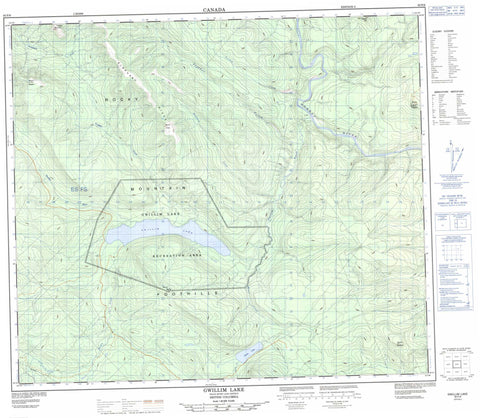
093P06 Gwillim Lake Canada topo map, 1:50,000 scale
093P06 Gwillim Lake NRCAN topographic map.
Includes UTM and GPS geographic coordinates (latitude and longitude). This 50k scale map is suitable for hiking, camping, and exploring, or you could frame it as a wall map.
Printed on-demand using high resolution, on heavy weight and acid free paper, or as an upgrade on a variety of synthetic materials.
Topos available on paper, Waterproof, Poly, or Tyvek. Usually shipping rolled, unless combined with other folded maps in one order.
- Product Number: NRCAN-093P06
- Parent Topo: TOPO-093P
- Map ID also known as: 093P06, 93P6, 93P06
- Unfolded Size: Approximately 26" high by 36" wide
- Weight (paper map): ca. 55 grams
- Map Type: POD NRCAN Topographic Map
- Map Scale: 1:50,000
- Geographical region: British Columbia, Canada
Neighboring Maps:
All neighboring Canadian topo maps are available for sale online at 1:50,000 scale.
Purchase the smaller scale map covering this area: Topo-093P
Spatial coverage:
Topo map sheet 093P06 Gwillim Lake covers the following places:
- Gwillim Lake - Moose Lake - Elephant Ridge - Mount Bennett - Mount Meikle - Mount Niles - Mount Puggins - Mount Robert - Noetai Hill - Rocky Mountain Foothills - Trapper Mountain - Tuskoola Mountain - Peace River Regional District - Gwillim Lake Park - Gwillim Lake Recreation Area - Dickebusch Creek - Elephant Creek - Gordon Creek - Gwillim River - Jezebel Creek - Meikle Creek - Moose Creek - Murray River - Suprenant Creek - Trapper Creek


