
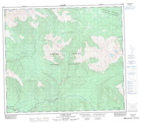
093M06 Suskwa River Canada topo map, 1:50,000 scale
093M06 Suskwa River NRCAN topographic map.
Includes UTM and GPS geographic coordinates (latitude and longitude). This 50k scale map is suitable for hiking, camping, and exploring, or you could frame it as a wall map.
Printed on-demand using high resolution, on heavy weight and acid free paper, or as an upgrade on a variety of synthetic materials.
Topos available on paper, Waterproof, Poly, or Tyvek. Usually shipping rolled, unless combined with other folded maps in one order.
- Product Number: NRCAN-093M06
- Parent Topo: TOPO-093M
- Map ID also known as: 093M06, 93M6, 93M06
- Unfolded Size: Approximately 26" high by 36" wide
- Weight (paper map): ca. 55 grams
- Map Type: POD NRCAN Topographic Map
- Map Scale: 1:50,000
- Geographical region: British Columbia, Canada
Neighboring Maps:
All neighboring Canadian topo maps are available for sale online at 1:50,000 scale.
Purchase the smaller scale map covering this area: Topo-093M
Spatial coverage:
Topo map sheet 093M06 Suskwa River covers the following places:
- Babine Mountains - Babine Range - Mount Thoen - Natlan Mountain - Natlan Peak - Nine Mile Mountain - Ninemile Mountain - Skeena Mountains - Regional District of Bulkley-Nechako - Regional District of Kitimat-Stikine - Interior Plateau - Nechako Plateau - Bulkley River - Denison Creek - Duncan Creek - Eighteen Mile Creek - Fifteen Mile Creek - Fifteenmile Creek - Harold Price Creek - Iltzul Creek - Lanezi Creek - Natlan Creek - Netalzul Creek - Nichyeskwa Creek - Nine Mile Creek - Ninemile Creek - Pinenut Creek - Shegunia River - Skilokis Creek - Sunrise Creek - Suskwa River - Twenty Mile Creek - Utsun Creek


