
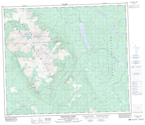
093L15 Driftwood Creek Canada topo map, 1:50,000 scale
093L15 Driftwood Creek NRCAN topographic map.
Includes UTM and GPS geographic coordinates (latitude and longitude). This 50k scale map is suitable for hiking, camping, and exploring, or you could frame it as a wall map.
Printed on-demand using high resolution, on heavy weight and acid free paper, or as an upgrade on a variety of synthetic materials.
Topos available on paper, Waterproof, Poly, or Tyvek. Usually shipping rolled, unless combined with other folded maps in one order.
- Product Number: NRCAN-093L15
- Parent Topo: TOPO-093L
- Map ID also known as: 093L15, 93L15
- Unfolded Size: Approximately 26" high by 36" wide
- Weight (paper map): ca. 55 grams
- Map Type: POD NRCAN Topographic Map
- Map Scale: 1:50,000
- Geographical region: British Columbia, Canada
Neighboring Maps:
All neighboring Canadian topo maps are available for sale online at 1:50,000 scale.
Purchase the smaller scale map covering this area: Topo-093L
Spatial coverage:
Topo map sheet 093L15 Driftwood Creek covers the following places:
- Boomerang Lake - Chapman Lake - Doris Lake - Four Lakes - Hagarty Lake - Little Joe Lakes - Llama Lake - Morin Lake - O'Herin Lake - Pine Tree Lake - Tanglechain Lake - Astlais Mountain - Babine Mountains - Babine Range - Haystack Mountain - Lagopus Mountain - Little Onion Mountain - L'Orsa Peak - Mount Cronin - Mount Elmsted - Mount Harvey - Mount Hyland - Mount McKendrick - Pyramid Mountain - Skeena Mountains - The Galleon - Regional District of Bulkley-Nechako - Babine Mountains Park - Babine Mountains Recreation Area - Interior Plateau - Nechako Plateau - Auber Creek - Badley Creek - Bristow Creek - Byron Creek - Cain Creek - Canyon Creek - Covert Creek - Cox Creek - Cronin Creek - Debenture Creek - Doray Creek - Driftwood Creek - Fink Creek - Fulton River - Ganokwa Creek - Guess Creek - Hagarty Creek - Haystack Creek - Higgins Creek - Little Joe Creek - Lyon Creek - McKendrick Creek - Morin Creek - Nata Creek - O'Herin Creek - Regan Creek - Reiseter Creek - Stimson Creek - Taka Creek - Tamara Brook - Tanglechain Creek - Silver King Basin


