
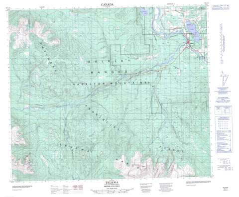
093L11 Telkwa Canada topo map, 1:50,000 scale
093L11 Telkwa NRCAN topographic map.
Includes UTM and GPS geographic coordinates (latitude and longitude). This 50k scale map is suitable for hiking, camping, and exploring, or you could frame it as a wall map.
Printed on-demand using high resolution, on heavy weight and acid free paper, or as an upgrade on a variety of synthetic materials.
Topos available on paper, Waterproof, Poly, or Tyvek. Usually shipping rolled, unless combined with other folded maps in one order.
- Product Number: NRCAN-093L11
- Parent Topo: TOPO-093L
- Map ID also known as: 093L11, 93L11
- Unfolded Size: Approximately 26" high by 36" wide
- Weight (paper map): ca. 55 grams
- Map Type: POD NRCAN Topographic Map
- Map Scale: 1:50,000
- Geographical region: British Columbia, Canada
Neighboring Maps:
All neighboring Canadian topo maps are available for sale online at 1:50,000 scale.
Purchase the smaller scale map covering this area: Topo-093L
Spatial coverage:
Topo map sheet 093L11 Telkwa covers the following places:
- Jean Baptiste Indian Reserve 28 - Réserve indienne Jean Baptiste 28 - Aldrich Lake - Maclure Lake - Seymour Lake - Tyhee Lake - Bulkley Ranges - Hazelton Mountains - Skeena Mountains - Telkwa Range - Regional District of Bulkley-Nechako - Maclure Lake Park - Tyhee Lake Park - Interior Plateau - Nechako Plateau - Bulkley River - Cabinet Creek - Cumming Creek - Dahlie Creek - Four Creek - Glacis Creek - Goat Creek - Goathorn Creek - Helps Creek - Howson Creek - Hubert Creek - Jonas Creek - McDowell Creek - Miller Creek - Pine Creek - Powers Creek - Scallon Creek - Seymour Creek - Sunsets Creek - Swan Creek - Telkwa River - Tenas Creek - Tyhee Creek - Victor Creek - Webster Creek - Winfield Creek - Huntington - Tatlow - Telkwa


