
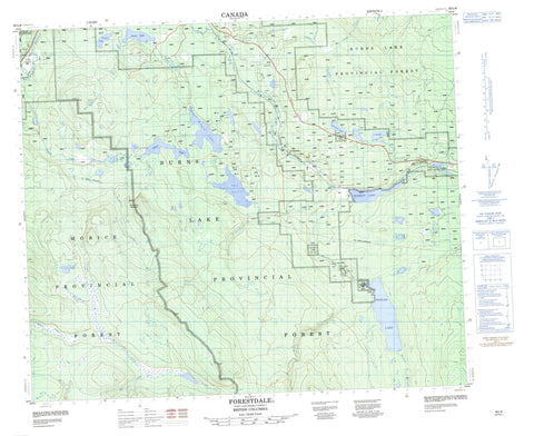
093L08 Forestdale Canada topo map, 1:50,000 scale
093L08 Forestdale NRCAN topographic map.
Includes UTM and GPS geographic coordinates (latitude and longitude). This 50k scale map is suitable for hiking, camping, and exploring, or you could frame it as a wall map.
Printed on-demand using high resolution, on heavy weight and acid free paper, or as an upgrade on a variety of synthetic materials.
Topos available on paper, Waterproof, Poly, or Tyvek. Usually shipping rolled, unless combined with other folded maps in one order.
- Product Number: NRCAN-093L08
- Parent Topo: TOPO-093L
- Map ID also known as: 093L08, 93L8, 93L08
- Unfolded Size: Approximately 26" high by 36" wide
- Weight (paper map): ca. 55 grams
- Map Type: POD NRCAN Topographic Map
- Map Scale: 1:50,000
- Geographical region: British Columbia, Canada
Neighboring Maps:
All neighboring Canadian topo maps are available for sale online at 1:50,000 scale.
Purchase the smaller scale map covering this area: Topo-093L
Spatial coverage:
Topo map sheet 093L08 Forestdale covers the following places:
- Duncan Lake Indian Reserve 12 - Duncan Lake Indian Reserve 2 - Foxy Creek Indian Reserve 11B - Foxy Creek Indian Reserve 6 - Maxan Creek Indian Reserve 5 - Maxan Lake Indian Reserve 3 - Maxan Lake Indian Reserve 4 - Maxim Creek Indian Reserve 11A - Maxim Creek Indian Reserve 11A - Maxim Lake Indian Reserve 11 - Maxim Lake Indian Reserve 12A - Réserve indienne Duncan Lake 12 - Réserve indienne Duncan Lake 2 - Réserve indienne Foxy Creek 11B - Réserve indienne Foxy Creek 6 - Réserve indienne Maxan Creek 5 - Réserve indienne Maxan Lake 3 - Réserve indienne Maxan Lake 4 - Réserve indienne Maxim Creek 11A - Réserve indienne Maxim Creek 11A - Réserve indienne Maxim Lake 11 - Réserve indienne Maxim Lake 12A - Broman Lake - Bulkley Lake - Conrad Lake - Day Lake - Elwin Lake - Gilmore Lake - Goose Lake - Lars Lake - Maxam Lake - Maxan Lake - McBrierie Lake - Old Man Lake - Old Woman Lake - Rose Lake - Sunset Lake - Swan Lake - Swans Lake - Watson Lake - Wiggins Lake - China Nose Mountain - Regional District of Bulkley-Nechako - Interior Plateau - Nechako Plateau - Ailport Creek - Aitken Creek - Bulkley River - Crow Creek - Dungate Creek - Endako River - Foxy Creek - Heading Creek - Klo Creek - Maxan Creek - North Ailport Creek - Taman Creek - Watson Creek - Wiggins Creek - Broman Lake - Broman Lake - Forestdale - North Bulkley - Rose Lake


