
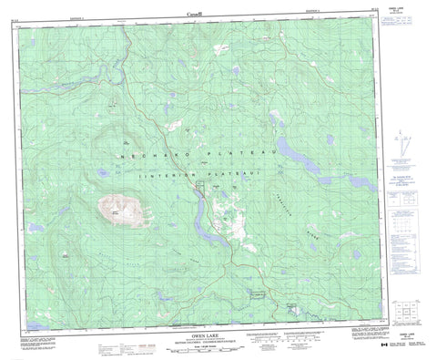
093L02 Owen Lake Canada topo map, 1:50,000 scale
093L02 Owen Lake NRCAN topographic map.
Includes UTM and GPS geographic coordinates (latitude and longitude). This 50k scale map is suitable for hiking, camping, and exploring, or you could frame it as a wall map.
Printed on-demand using high resolution, on heavy weight and acid free paper, or as an upgrade on a variety of synthetic materials.
Topos available on paper, Waterproof, Poly, or Tyvek. Usually shipping rolled, unless combined with other folded maps in one order.
- Product Number: NRCAN-093L02
- Parent Topo: TOPO-093L
- Map ID also known as: 093L02, 93L2, 93L02
- Unfolded Size: Approximately 26" high by 36" wide
- Weight (paper map): ca. 55 grams
- Map Type: POD NRCAN Topographic Map
- Map Scale: 1:50,000
- Geographical region: British Columbia, Canada
Neighboring Maps:
All neighboring Canadian topo maps are available for sale online at 1:50,000 scale.
Purchase the smaller scale map covering this area: Topo-093L
Spatial coverage:
Topo map sheet 093L02 Owen Lake covers the following places:
- Felix George Indian Reserve 3 - Felix George Indian Reserve 7 - Gaichbin Indian Reserve 5 - Gaichbin Indian Reserve 8 - Klagookchew Indian Reserve 4 - Klagookchew Indian Reserve 9 - Peter Alec Indian Reserve 6 - Réserve indienne Felix George 3 - Réserve indienne Felix George 7 - Réserve indienne Gaichbin 5 - Réserve indienne Gaichbin 8 - Réserve indienne Klagookchew 4 - Réserve indienne Klagookchew 9 - Réserve indienne Peter Alec 6 - Bellelliot Lake - Cole Lake - Dawson Lake - Duck Lake - Emil Lake - George Lake - Jewell Lake - Klate Lake - Necuh Lake - Neuch Lakes - Owen Lake - Park Lake - Parrott Lake - Parrott Lakes - Tagetochlain Lake - Tsalitpn Lake - Mine Hill - Nadina Mountain - Okusyelda Hill - Owen Hill - Poplar Mountain - Silloep Hill - Taylor Ridge - Tekaiziyis Ridge - Tiptop Hill - Tsalit Mountain - Winninyik Hill - Regional District of Bulkley-Nechako - Interior Plateau - Nechako Plateau - Buck Creek - Emil Creek - Fenton Creek - Klate Creek - Morice River - Nadina River - Owen Creek - Peter Aleck Creek - Pimpernel Creek - Poplar Creek - Puport Creek - Riddeck Creek - Wrinch Creek


