
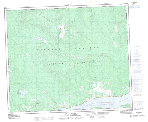
093L01 Colleymount Canada topo map, 1:50,000 scale
093L01 Colleymount NRCAN topographic map.
Includes UTM and GPS geographic coordinates (latitude and longitude). This 50k scale map is suitable for hiking, camping, and exploring, or you could frame it as a wall map.
Printed on-demand using high resolution, on heavy weight and acid free paper, or as an upgrade on a variety of synthetic materials.
Topos available on paper, Waterproof, Poly, or Tyvek. Usually shipping rolled, unless combined with other folded maps in one order.
- Product Number: NRCAN-093L01
- Parent Topo: TOPO-093L
- Map ID also known as: 093L01, 93L1, 93L01
- Unfolded Size: Approximately 26" high by 36" wide
- Weight (paper map): ca. 55 grams
- Map Type: POD NRCAN Topographic Map
- Map Scale: 1:50,000
- Geographical region: British Columbia, Canada
Neighboring Maps:
All neighboring Canadian topo maps are available for sale online at 1:50,000 scale.
Purchase the smaller scale map covering this area: Topo-093L
Spatial coverage:
Topo map sheet 093L01 Colleymount covers the following places:
- Allin Bay - Réserve indienne Tsichgass 10 - Réserve indienne Tsichgass Lake 2 - Tsichgass Indian Reserve 10 - Tsichgass Lake Indian Reserve 2 - Cordella Lake - Cordella Pond - François Lake - Goosly Lake - John Brown Lakes - Kivi Lake - Lu Lake - MacDonald Lake - Parrott Lake - Parrott Lakes - Sam Lake - Tom Allin Lake - Tsichgass Lake - Colley Mountain - Mount Colley - Mount Parrott - Regional District of Bulkley-Nechako - Colleymount Community Park - Colleymount Park - Interior Plateau - Nechako Plateau - Allin Creek - Berzelius Creek - Bessemer Creek - Buck Creek - Colley Creek - Cordella Creek - Foxy Creek - Graham Creek - Henkel Creek - Kivi Creek - Klo Creek - Lu Creek - McDonald Creek - Parkland Creek - Parrott Creek - Poplar Creek - Ramsay Creek - Van Lear Creek - Wynkes Creek - Clemretta - Colleymount - McDonalds Landing


