
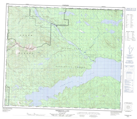
093K14 Trembleur Lake Canada topo map, 1:50,000 scale
093K14 Trembleur Lake NRCAN topographic map.
Includes UTM and GPS geographic coordinates (latitude and longitude). This 50k scale map is suitable for hiking, camping, and exploring, or you could frame it as a wall map.
Printed on-demand using high resolution, on heavy weight and acid free paper, or as an upgrade on a variety of synthetic materials.
Topos available on paper, Waterproof, Poly, or Tyvek. Usually shipping rolled, unless combined with other folded maps in one order.
- Product Number: NRCAN-093K14
- Parent Topo: TOPO-093K
- Map ID also known as: 093K14, 93K14
- Unfolded Size: Approximately 26" high by 36" wide
- Weight (paper map): ca. 55 grams
- Map Type: POD NRCAN Topographic Map
- Map Scale: 1:50,000
- Geographical region: British Columbia, Canada
Neighboring Maps:
All neighboring Canadian topo maps are available for sale online at 1:50,000 scale.
Purchase the smaller scale map covering this area: Topo-093K
Spatial coverage:
Topo map sheet 093K14 Trembleur Lake covers the following places:
- Tranquility Bay - Tranquillity Bay - Bihl' K' A Indian Reserve 18 - Dzin Tl'At 46 - Dzin Tl'At Indian Reserve 46 - Dzitline Lee Indian Reserve 9 - Eagle Creek Indian Reserve 6 - Gelangle Indian Reserve 1 - Natazutlooh 25 - Noo Kat 42 - Noo Kat Indian Reserve 42 - O K'Ay Wha Cho 26 - O Kay Wha Cho Indian Reserve 26 - O K'Ay Wha Cho Indian Reserve 26 - Réserve indienne 26 O K'Ay Wha Cho - Réserve indienne Bihl' K' A 18 - Réserve indienne Dzin Tl'At 46 - Réserve indienne Dzitline Lee 9 - Réserve indienne Eagle Creek 6 - Réserve indienne Gelangle 1 - Réserve indienne Noo Kat 42 - Réserve indienne O Kay Wha Cho 26 - Réserve indienne Soyandostar 2 - Réserve indienne Tsaz Cheh Koh 24 - Soyandostar Indian Reserve 2 - Tsaz Cheh Koh 24 - Tsaz Cheh Koh Indian Reserve 24 - Hanamalea Island - Kazchek Lake - Natazutlo Lake - Rice Lake - Trembleur Lake - Hogem Ranges - Kazchek Mountain - Mount Copley - Mount Sidney Williams - Mount Williams - Omineca Mountains - Regional District of Bulkley-Nechako - Trembleur Lake Park - Interior Plateau - Nechako Plateau - Baptiste Creek - Butterfield Creek - Butterfield Creek - Dan Miner Creek - Fleming Creek - Fleming Creek - Kazchek Creek - Middle River - Natazutlo Creek - O'Ne-ell Creek - Paula Creek - Sidney Creek - Tarnezell Creek - Tildesley Creek - Tsitsutl Creek - Van Decar Creek - West Tarnezell Creek - Middle River - Middle River Village - Trembleur


