
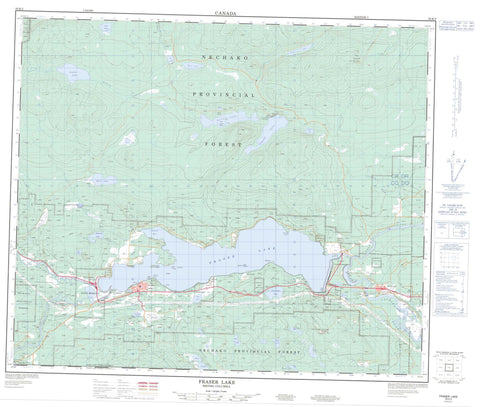
093K02 Fraser Lake Canada topo map, 1:50,000 scale
093K02 Fraser Lake NRCAN topographic map.
Includes UTM and GPS geographic coordinates (latitude and longitude). This 50k scale map is suitable for hiking, camping, and exploring, or you could frame it as a wall map.
Printed on-demand using high resolution, on heavy weight and acid free paper, or as an upgrade on a variety of synthetic materials.
Topos available on paper, Waterproof, Poly, or Tyvek. Usually shipping rolled, unless combined with other folded maps in one order.
- Product Number: NRCAN-093K02
- Parent Topo: TOPO-093K
- Map ID also known as: 093K02, 93K2, 93K02
- Unfolded Size: Approximately 26" high by 36" wide
- Weight (paper map): ca. 55 grams
- Map Type: POD NRCAN Topographic Map
- Map Scale: 1:50,000
- Geographical region: British Columbia, Canada
Neighboring Maps:
All neighboring Canadian topo maps are available for sale online at 1:50,000 scale.
Purchase the smaller scale map covering this area: Topo-093K
Spatial coverage:
Topo map sheet 093K02 Fraser Lake covers the following places:
- Simon Bay - Mouse Point - Vinnedge Point - Nautley River - Canyon Lake (Ormonde Lake) Indian Reserve 7 - Fraser Lake Indian Reserve 2 - Nautley (Fort Fraser) Indian Reserve 1 - Ormonde Creek Indian Reserve 8 - Réserve indienne Canyon Lake (Ormonde Lake) 7 - Réserve indienne Fraser Lake 2 - Réserve indienne Nautley (Fort Fraser) 1 - Réserve indienne Ormonde Creek 8 - Réserve indienne Seaspunkut 4 - Réserve indienne Stellaquo (Stella) 1 - Réserve indienne Stellaquo 5 - Réserve indienne Yensischuck 3 - Seaspunkut Indian Reserve 4 - Stellaquo (Stella) Indian Reserve 1 - Stellaquo Indian Reserve 5 - Yensischuck Indian Reserve 3 - Azilene Cho Nu - Azilene Yaz Nu - Ellis Island - Huntly Island - Otter Island - Adams Lake - Alf Lake - Angly Lake - Deserter Lake - Drywilliam Lake - Etcho Lake - Foster Lakes - François Lake - Fraser Lake - Jean Lake - Joseph Lake - Justine Lake - Klez Lake - Leg Lake - McLean Lake - Mudhole Lake - Oona Lake - Ormond Lake - Ormonde Lake - Peta Lake - Rock Lake - Roys Lake - Seas Lake - Stag Lake - Stern Lake - Theda Lake - Top Lake - Pitka Mountain - Regional District of Bulkley-Nechako - Beaumont Park - Interior Plateau - Nechako Plateau - Alf Creek - Angly Creek - Clarke Creek - Duncan Creek - Endako River - Foster Creek - Four Mile Creek - Mudhole Creek - Nechako River - Nine Mile Creek - Ormond Creek - Ormonde Creek - Perry Creek - Peta Creek - Robertson Creek - Shotgun Creek - Stellako River - Stern Creek - Tatin Creek - Tatsutnai Creek - Encombe - Fort Fraser - Lejac - Nithi River - Stellako - Fraser Lake


