
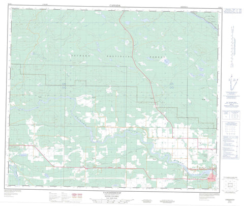
093K01 Vanderhoof Canada topo map, 1:50,000 scale
093K01 Vanderhoof NRCAN topographic map.
Includes UTM and GPS geographic coordinates (latitude and longitude). This 50k scale map is suitable for hiking, camping, and exploring, or you could frame it as a wall map.
Printed on-demand using high resolution, on heavy weight and acid free paper, or as an upgrade on a variety of synthetic materials.
Topos available on paper, Waterproof, Poly, or Tyvek. Usually shipping rolled, unless combined with other folded maps in one order.
- Product Number: NRCAN-093K01
- Parent Topo: TOPO-093K
- Map ID also known as: 093K01, 93K1, 93K01
- Unfolded Size: Approximately 26" high by 36" wide
- Weight (paper map): ca. 55 grams
- Map Type: POD NRCAN Topographic Map
- Map Scale: 1:50,000
- Geographical region: British Columbia, Canada
Neighboring Maps:
All neighboring Canadian topo maps are available for sale online at 1:50,000 scale.
Purchase the smaller scale map covering this area: Topo-093K
Spatial coverage:
Topo map sheet 093K01 Vanderhoof covers the following places:
- Vanderhoof - Fondeur Indian Reserve 9 - Noonla Indian Reserve 6 - Réserve indienne Fondeur 9 - Réserve indienne Noonla 6 - Barlow Lake - Circum Lake - Echo Lake - Expected Lake - Fish Lake - Fountain Lake - Lars Pond - Marten Lake - Negaard Lake - Rorison Lake - Wonder Lake - Regional District of Bulkley-Nechako - Nechako River Bird Sanctuary - Refuge d'oiseaux de la rivière Nechako - Interior Plateau - Nechako Plateau - Bearcub Creek - Clear Creek - Croft Creek - Dog Creek - East Murray Creek - East Negaard Creek - Eden Creek - Engen Creek - Goldie Creek - Halsey Creek - Kec Creek - Kluk Creek - McIntosh Creek - Moss Creek - Murray Creek - Nechako River - Negaard Creek - Nine Mile Creek - Phillips Creek - Pitka Creek - Preston Creek - Redmond Creek - Shillestead Brook - Smith Creek - Stony Creek - Stuart River - Trankle Creek - Tsah Creek - Upper Moss Creek - West Engen Creek - Braeside - Engen - Marten Lake - McCall - Prairiedale - Willowvale


