
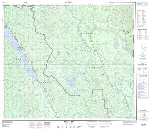
093J15 Firth Lake Canada topo map, 1:50,000 scale
093J15 Firth Lake NRCAN topographic map.
Includes UTM and GPS geographic coordinates (latitude and longitude). This 50k scale map is suitable for hiking, camping, and exploring, or you could frame it as a wall map.
Printed on-demand using high resolution, on heavy weight and acid free paper, or as an upgrade on a variety of synthetic materials.
Topos available on paper, Waterproof, Poly, or Tyvek. Usually shipping rolled, unless combined with other folded maps in one order.
- Product Number: NRCAN-093J15
- Parent Topo: TOPO-093J
- Map ID also known as: 093J15, 93J15
- Unfolded Size: Approximately 26" high by 36" wide
- Weight (paper map): ca. 55 grams
- Map Type: POD NRCAN Topographic Map
- Map Scale: 1:50,000
- Geographical region: British Columbia, Canada
Neighboring Maps:
All neighboring Canadian topo maps are available for sale online at 1:50,000 scale.
Purchase the smaller scale map covering this area: Topo-093J
Spatial coverage:
Topo map sheet 093J15 Firth Lake covers the following places:
- Agnes Point - Whiskers Point - McLeod Lake Indian Reserve 5 - Quaw Island 25 - Réserve indienne McLeod Lake 5 - Tom Cook 26 - Boquist Lake - Chudnuslida Lake - Chuyazega Lake - Destilida Lake - Firth Lake - Goose Lake - Hodda Lake - Hourston Lake - McLeod Lake - Hart Ranges - Misinchinka Ranges - Rocky Mountains - Regional District of Fraser-Fort George - Whiskers Point Park - Interior Plateau - Nechako Plateau - Altezega Creek - Anzac River - Chuyazega Creek - Crooked River - Destilida Creek - Firth Creek - Hodda Creek - Isadore Creek - Parsnip River - Reynolds Creek - Tsatchuka Creek - Weedon Creek - Whiskers Creek - Anzac - Firth - Hodda - Rocky Mountain Trench


