
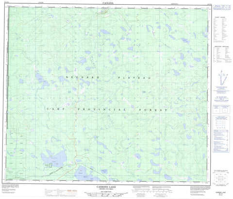
093J12 Carrier Lake Canada topo map, 1:50,000 scale
093J12 Carrier Lake NRCAN topographic map.
Includes UTM and GPS geographic coordinates (latitude and longitude). This 50k scale map is suitable for hiking, camping, and exploring, or you could frame it as a wall map.
Printed on-demand using high resolution, on heavy weight and acid free paper, or as an upgrade on a variety of synthetic materials.
Topos available on paper, Waterproof, Poly, or Tyvek. Usually shipping rolled, unless combined with other folded maps in one order.
- Product Number: NRCAN-093J12
- Parent Topo: TOPO-093J
- Map ID also known as: 093J12, 93J12
- Unfolded Size: Approximately 26" high by 36" wide
- Weight (paper map): ca. 55 grams
- Map Type: POD NRCAN Topographic Map
- Map Scale: 1:50,000
- Geographical region: British Columbia, Canada
Neighboring Maps:
All neighboring Canadian topo maps are available for sale online at 1:50,000 scale.
Purchase the smaller scale map covering this area: Topo-093J
Spatial coverage:
Topo map sheet 093J12 Carrier Lake covers the following places:
- Carrier Lake Indian Reserve 15 - Carrier Lake Indian Reserve 15 - Réserve indienne Carrier Lake 15 - Réserve indienne Carrier Lake 15 - Busnatsidzih Lake - Carrier Lake - Clarkston Lake - Deadone Lake - Duk'ai Dizti' Lake - Gates Lake - Great Beaver Lake - Ocock Lake - Old Man Lake - Rotundus Lake - Suzanne Bung'hun - Techus Anghan Lake - Whucho Lake - Regional District of Bulkley-Nechako - Regional District of Fraser-Fort George - Interior Plateau - Nechako Plateau - Hyman Creek - McLeod River - Ocock River - Pinkut Creek - Salmon River - Whitemud Creek


