
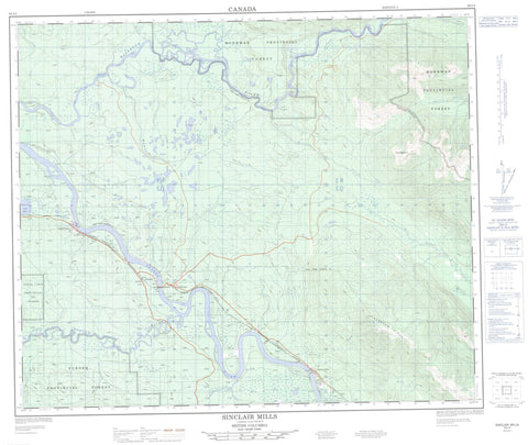
093I04 Sinclair Mills Canada topo map, 1:50,000 scale
093I04 Sinclair Mills NRCAN topographic map.
Includes UTM and GPS geographic coordinates (latitude and longitude). This 50k scale map is suitable for hiking, camping, and exploring, or you could frame it as a wall map.
Printed on-demand using high resolution, on heavy weight and acid free paper, or as an upgrade on a variety of synthetic materials.
Topos available on paper, Waterproof, Poly, or Tyvek. Usually shipping rolled, unless combined with other folded maps in one order.
- Product Number: NRCAN-093I04
- Parent Topo: TOPO-093I
- Map ID also known as: 093I04, 93I4, 93I04
- Unfolded Size: Approximately 26" high by 36" wide
- Weight (paper map): ca. 55 grams
- Map Type: POD NRCAN Topographic Map
- Map Scale: 1:50,000
- Geographical region: British Columbia, Canada
Neighboring Maps:
All neighboring Canadian topo maps are available for sale online at 1:50,000 scale.
Purchase the smaller scale map covering this area: Topo-093I
Spatial coverage:
Topo map sheet 093I04 Sinclair Mills covers the following places:
- Amanita Lake - Clam Lake - Deep Lake - Hansard Lake - Long Lake - Milk Lake - Plantation Lake - Bearpaw Ridge - Montagnes Rocheuses - Mount Severeid - Rocky Mountains - Regional District of Fraser-Fort George - McGregor Plateau - Amanita Creek - Bowron River - Deafy Creek - Hansard Creek - Hiyu Creek - Hubble Creek - Huble Creek - McGregor River - Mokus Creek - Moxley Creek - Pritchard Creek - Robinson Creek - Seebach Creek - Severeid Creek - West Torpy River - Wolfe Creek - Woodall Creek - Cornel Mills - Dewey - Dewey - Hansard - McGregor - Sinclair Mills - Upper Fraser - Rocky Mountain Trench


