
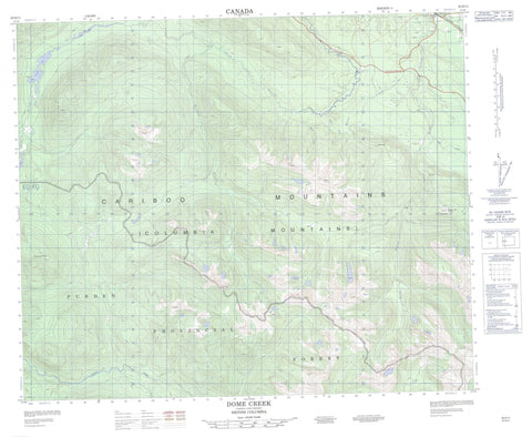
093H11 Dome Creek Canada topo map, 1:50,000 scale
093H11 Dome Creek NRCAN topographic map.
Includes UTM and GPS geographic coordinates (latitude and longitude). This 50k scale map is suitable for hiking, camping, and exploring, or you could frame it as a wall map.
Printed on-demand using high resolution, on heavy weight and acid free paper, or as an upgrade on a variety of synthetic materials.
Topos available on paper, Waterproof, Poly, or Tyvek. Usually shipping rolled, unless combined with other folded maps in one order.
- Product Number: NRCAN-093H11
- Parent Topo: TOPO-093H
- Map ID also known as: 093H11, 93H11
- Unfolded Size: Approximately 26" high by 36" wide
- Weight (paper map): ca. 55 grams
- Map Type: POD NRCAN Topographic Map
- Map Scale: 1:50,000
- Geographical region: British Columbia, Canada
Neighboring Maps:
All neighboring Canadian topo maps are available for sale online at 1:50,000 scale.
Purchase the smaller scale map covering this area: Topo-093H
Spatial coverage:
Topo map sheet 093H11 Dome Creek covers the following places:
- Shandy Lake - Slim Lake - Tumuch Lake - Cariboo Mountains - Columbia Mountains - Dome Mountain - Pinkerton Peak - Regional District of Fraser-Fort George - Fraser Plateau - Interior Plateau - Centennial Creek - Dome Creek - Evans Creek - Everett Creek - Haggen Creek - Noise Creek - Oog Creek - Shiko Creek - Slim Creek - Swish Creek - Dome Creek - Rocky Mountain Trench


