
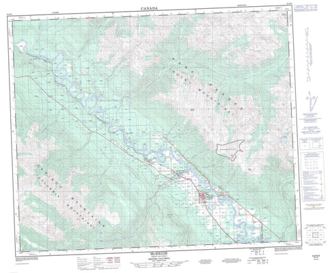
093H08 Mcbride Canada topo map, 1:50,000 scale
093H08 Mcbride NRCAN topographic map.
Includes UTM and GPS geographic coordinates (latitude and longitude). This 50k scale map is suitable for hiking, camping, and exploring, or you could frame it as a wall map.
Printed on-demand using high resolution, on heavy weight and acid free paper, or as an upgrade on a variety of synthetic materials.
Topos available on paper, Waterproof, Poly, or Tyvek. Usually shipping rolled, unless combined with other folded maps in one order.
- Product Number: NRCAN-093H08
- Parent Topo: TOPO-093H
- Map ID also known as: 093H08, 93H8, 93H08
- Unfolded Size: Approximately 26" high by 36" wide
- Weight (paper map): ca. 55 grams
- Map Type: POD NRCAN Topographic Map
- Map Scale: 1:50,000
- Geographical region: British Columbia, Canada
Neighboring Maps:
All neighboring Canadian topo maps are available for sale online at 1:50,000 scale.
Purchase the smaller scale map covering this area: Topo-093H
Spatial coverage:
Topo map sheet 093H08 Mcbride covers the following places:
- Rainbow Falls - Horseshoe Lake - Ozalenka Lake - Big Bell Mountain - Cariboo Mountains - Columbia Mountains - Lakeview Peak - Little Bell Mountain - McBride Peak - Montagnes Rocheuses - Mount Monroe - Mount Renshaw - Mount Teare - Ozalenka Peak - Park Ranges - Rocky Mountains - Teare Mountain - The Arrowhead - The Blackwater Tusk - The Silver Horn - Regional District of Fraser-Fort George - McBride Community Park - Bevier Creek - Boreal Creek - Clyde Creek - Craibenn Creek - Curve Creek - Doré River - East Twin Creek - Edand Creek - Eddy Creek - Elder Creek - Fleet Creek - Fraser River - Hankins Creek - Holmes River - Horseshoe Creek - Legrand Creek - Martinson Creek - McIntosh Creek - McKale River - Minnow Creek - Monroe Creek - Murphy Creek - Ozalenka Creek - Rainbow Creek - Shelby Creek - Sunbeam Creek - Teare Creek - Tumbledick Creek - West Twin Creek - Willox Creek - Beaver River - Lamming Mills - Legrand - Poser - Robson Valley - Rocky Mountain Trench - McBride


