
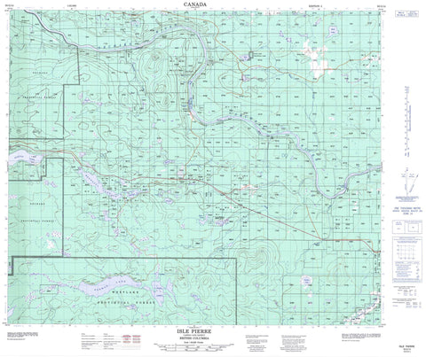
093G14 Isle Pierre Canada topo map, 1:50,000 scale
093G14 Isle Pierre NRCAN topographic map.
Includes UTM and GPS geographic coordinates (latitude and longitude). This 50k scale map is suitable for hiking, camping, and exploring, or you could frame it as a wall map.
Printed on-demand using high resolution, on heavy weight and acid free paper, or as an upgrade on a variety of synthetic materials.
Topos available on paper, Waterproof, Poly, or Tyvek. Usually shipping rolled, unless combined with other folded maps in one order.
- Product Number: NRCAN-093G14
- Parent Topo: TOPO-093G
- Map ID also known as: 093G14, 93G14
- Unfolded Size: Approximately 26" high by 36" wide
- Weight (paper map): ca. 55 grams
- Map Type: POD NRCAN Topographic Map
- Map Scale: 1:50,000
- Geographical region: British Columbia, Canada
Neighboring Maps:
All neighboring Canadian topo maps are available for sale online at 1:50,000 scale.
Purchase the smaller scale map covering this area: Topo-093G
Spatial coverage:
Topo map sheet 093G14 Isle Pierre covers the following places:
- Isle de Pierre - Bednesti Lake - Berman Lake - Beverly Lake - Breeze Lake - Buck Lake - Chuk Lake - Cluculz Lake - Dahl Lake - Esker Lake - Henry Lake - Kwitzil Lake - Kwtzil Lake - Last Lake - MacDonald Pond - Nevada Lake - Norman Lake - Piuki Lake - Reid Lake - Roaring Lake - Square Lake - Sweden Lake - Tadpole Lake - Tamarac Lake - Theodore Lake - Zelkwas Lake - Blueberry Hill - Regional District of Bulkley-Nechako - Regional District of Fraser-Fort George - Buck Lake Park - Dahl Lake Park - Interior Plateau - Isle de Pierre Rapids - White Mud Rapids - Breeze Creek - Chilako River - Chillo Creek - Dahl Creek - Dodd Creek - Hutchison Creek - Kellogg Creek - Nechako River - Norman Creek - Sweden Creek - Tachintelachick Creek - Zelkwas Creek - Bednesti - Davidson - Hutchinson - Hutchison - Isle Pierre - Mud River - Nechako - Nichol - Reid Lake - Telachick - Wedgewood


