
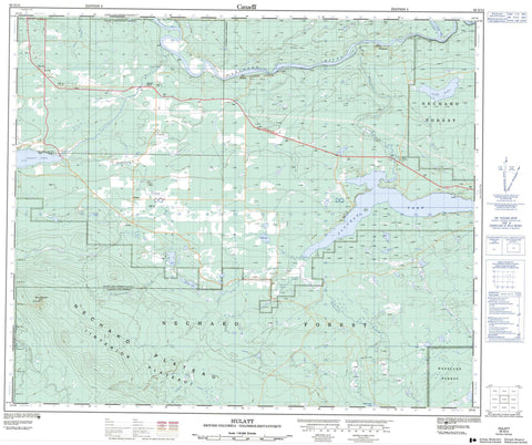
093G13 Hulatt Canada topo map, 1:50,000 scale
093G13 Hulatt NRCAN topographic map.
Includes UTM and GPS geographic coordinates (latitude and longitude). This 50k scale map is suitable for hiking, camping, and exploring, or you could frame it as a wall map.
Printed on-demand using high resolution, on heavy weight and acid free paper, or as an upgrade on a variety of synthetic materials.
Topos available on paper, Waterproof, Poly, or Tyvek. Usually shipping rolled, unless combined with other folded maps in one order.
- Product Number: NRCAN-093G13
- Parent Topo: TOPO-093G
- Map ID also known as: 093G13, 93G13
- Unfolded Size: Approximately 26" high by 36" wide
- Weight (paper map): ca. 55 grams
- Map Type: POD NRCAN Topographic Map
- Map Scale: 1:50,000
- Geographical region: British Columbia, Canada
Neighboring Maps:
All neighboring Canadian topo maps are available for sale online at 1:50,000 scale.
Purchase the smaller scale map covering this area: Topo-093G
Spatial coverage:
Topo map sheet 093G13 Hulatt covers the following places:
- Vanderhoof - Carrole Falls - Réserve indienne Sinkut Lake 8 - Sinkut Lake Indian Reserve 8 - Cluculz Lake - Cobb Lake - Eulatazella Lake - Hogsback Lake - McKay Lake - Sinkut Lake - Sob Lake - Sinkut Mountain - Regional District of Bulkley-Nechako - Fraser Plateau - Interior Plateau - Nechako Plateau - Beaverdam Creek - Chilco Creek - Cluculz Creek - Engstrom Creek - Hogsback Creek - Hulatt Creek - Khai Creek - Kinowsa Creek - Klinsake Creek - Leona Creek - McKay Creek - Nankuz Creek - Nechako River - Neuco Creek - Norman Creek - Puttah Creek - Sinkut Creek - Sinkut River - Sob Creek - Stuart River - Tultsau Creek - Finmoore - Hulatt - Mapes - Sinkut River - Wedgwood - Weneez


