
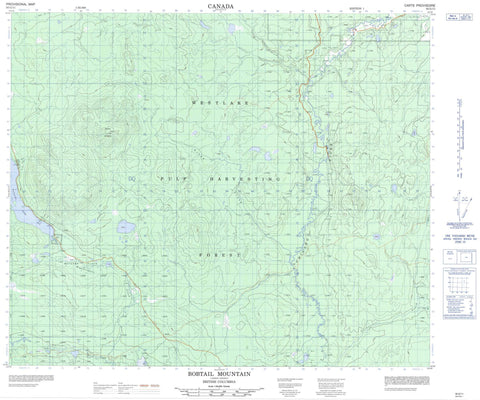
093G11 Bobtail Mountain Canada topo map, 1:50,000 scale
093G11 Bobtail Mountain NRCAN topographic map.
Includes UTM and GPS geographic coordinates (latitude and longitude). This 50k scale map is suitable for hiking, camping, and exploring, or you could frame it as a wall map.
Printed on-demand using high resolution, on heavy weight and acid free paper, or as an upgrade on a variety of synthetic materials.
Topos available on paper, Waterproof, Poly, or Tyvek. Usually shipping rolled, unless combined with other folded maps in one order.
- Product Number: NRCAN-093G11
- Parent Topo: TOPO-093G
- Map ID also known as: 093G11, 93G11
- Unfolded Size: Approximately 26" high by 36" wide
- Weight (paper map): ca. 55 grams
- Map Type: POD NRCAN Topographic Map
- Map Scale: 1:50,000
- Geographical region: British Columbia, Canada
Neighboring Maps:
All neighboring Canadian topo maps are available for sale online at 1:50,000 scale.
Purchase the smaller scale map covering this area: Topo-093G
Spatial coverage:
Topo map sheet 093G11 Bobtail Mountain covers the following places:
- Brooks Lake - Clear Lake - Lumpy Lake - Naltesby Lake - Bobtail Mountain - Regional District of Bulkley-Nechako - Regional District of Fraser-Fort George - Bobtail Mountain Park - Butcher Flats - Interior Plateau - Brooks Creek - Butcherflats Creek - Chehischic Creek - Chilako River - Chillo Creek - Dahl Creek - Greeg Creek - Gregg Creek - Leigh Creek - McKenzie Creek - Dels Marsh


